
What is recorded here
Situated on flat poorly drained reclaimed grassland. Outline of ring-barrow (approx. diam. 6m) visible on OSi orthophotos taken 2005-12. Outline of monument visible on Google Earth orthophotos taken 11/03/2014 and 18/11/2018.
See attached Google Earth orthoimages
Compiled by: Caimin O'Brien
Date of upload: 18 October 2020
Ring-barrow, likely dating to the Early Bronze Age. Its presence indicates a prehistoric burial tradition in the Oolahills area, though its wider archaeological context remains poorly understood.
The monument record does not grant public access. Check the route and ask the landowner before entering private land.
- What survives
- Recorded monument
Places near here
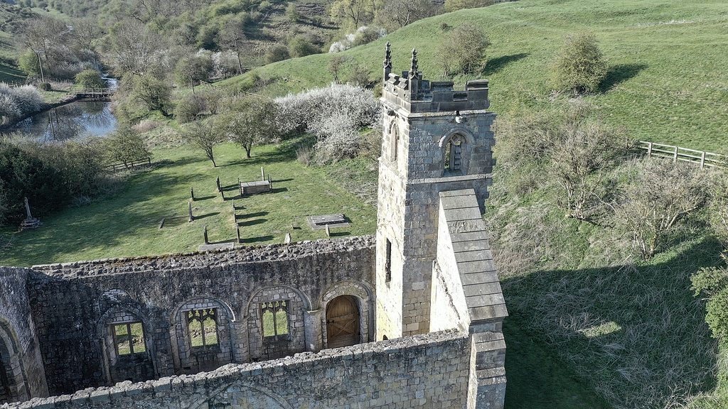 Settlement desertedSettlement deserted, medieval · 1236 yd
 Oola HillMountain / peak · 1385 yd
 Oola Castle (in ruins)Castle, tower house · 1447 yd
 Oola National Schoolschool · 1526 yd
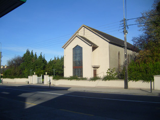 Catholic Church of the Sacred Heartchurch/chapel · 1529 yd
 Field system in Garryduff (coonagh By.)Field system · 1594 yd
 CloghadaltonCastle, unclassified · 1.0 mi
 ToberagaddySpring · 3.8 mi
 KnockseefinMountain / peak · 5.1 mi
 St. Patrick's WellSpring · 6.5 mi
 Flat cemetery in Knockainy WestFlat cemetery · 10.0 mi
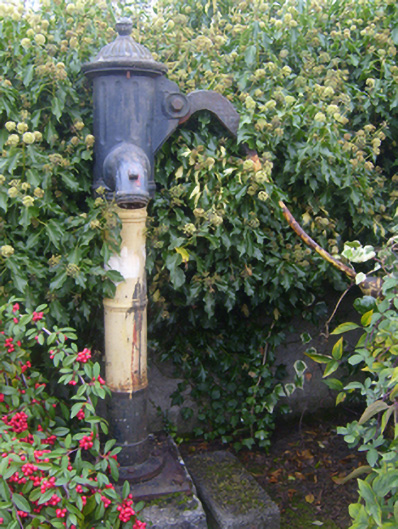 water pumpwater pump · 1570 yd
Other information
Photo: Credit not shown in the picture search · Rights wording not checked; contact us if this picture should be removed