
What is recorded here
A rock annotated 'Cloghadalton' on the 1897 ed. OSi 25-inch map may mark approximate location of Cloghdalton Castle in the townland Castlelloyd. Westropp (1906-7, 103) recorded the following details about Cloughadalton Castle; 'Cloughdalton Rock is in Castle Lloyd, and the townland adjoins last. 1578 Tirlagh mac Brien held Cloghdallatowne, "one C[astle] (Inq. Exch. 7, 10). 1583-1586 Conor mac Brien, Coonagh, held Cloghtallon, C[astle]. (Des. R.,74 ; Peyton, p. 24). 1655 Clogdalton held by Connor mac Brien (C.S., xxiii., p. 3; B.D., p. 36; Petty, 67). 1668 Granted to Harding and Henry (Act Sett.). 1688 Coldalton in Ulloe (Trustees' Map, 24)'. Tower house like castle with two dwellings shown standing in 'Cloughdalton' on the 1657 Down Survey map of Coonagh Barony (Hib. Reg.). Duplicate site with LI025-030---- and LI033-057---.
Compiled by: Caimin O'Brien
Date of upload: 7 December 2020
Cloghadalton (Castlelloyd) was likely a small medieval stronghold, possibly built by a local Gaelic family in the early modern period. It is remembered primarily through early 20th-century archaeological notes, though its exact historical significance remains unclear due to limited surviving records.
The monument record does not grant public access. Check the route and ask the landowner before entering private land.
- What survives
- Recorded monument
Places near here
 Castle Lloydfolly · 234 yd
 Oola National Schoolschool · 392 yd
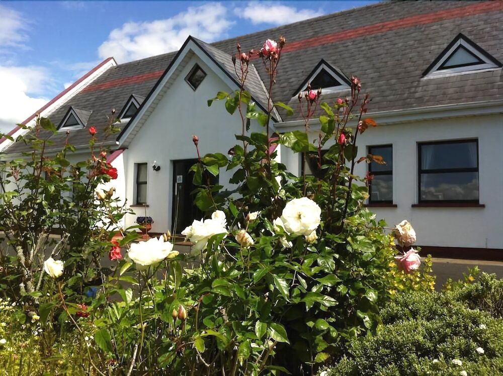 Grave YardGraveyard · 528 yd
 Enclosure in Garryduff (coonagh By.)Enclosure · 533 yd
 Oola HillMountain / peak · 1224 yd
 Oola Castle (in ruins)Castle, tower house · 1.1 mi
 Site of Cullen CastleCastle, unclassified · 1.3 mi
 ToberagaddySpring · 3.4 mi
 KnockseefinMountain / peak · 4.5 mi
 St. Patrick's WellSpring · 5.6 mi
 Flat cemetery in Knockainy WestFlat cemetery · 8.9 mi
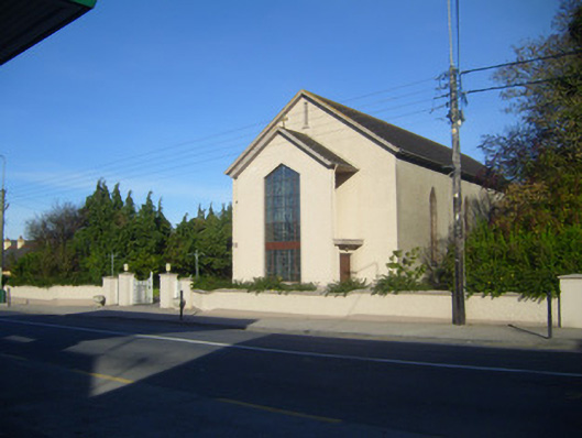 Catholic Church of the Sacred Heartchurch/chapel · 438 yd
Other information
Photo: Credit not shown in the picture search · Rights wording not checked; contact us if this picture should be removed