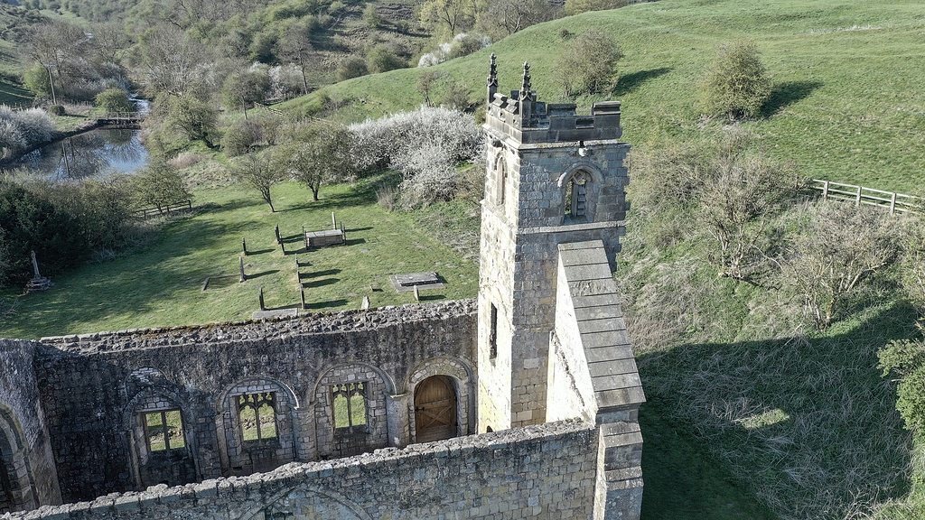
What is recorded here
In pasture on the lower E facing slope of Oola Hill, 430m ESE of the summit and 80m NW and N of Oola Castle (LI033A008002-) standing 1km W of the county border with Tipperary. The site has excellent views to the N, E and S. A land grant of 1282 records that Ullish (Oola) was granted by the Citizens of Limerick to J. Fitz Thomas (Westropp 1906, 103). Oola Castle, a tower house, is reputed to have been built by a branch of the O’Brien’s of Thomond, Tirrelagh mac Brien held a castle at Knockowlow (Oola Hills) in 1572 (ibid., 103).
The earthworks were first identified on oblique aerial photographs taken 20/07/1968 and 10/07/1969 (CUCAP AVT043/044; AYO037) appear to be the remains of medieval settlement contemporary or earlier associated with Oola Castle. The field systems and earthworks are not depicted on the 1840 ed. OSi 6-inch map or on the 1897 ed. OSi 25-inch map. The field systems, sunken way and house platforms are visible on OSi orthoimage taken 2005-12 and on Digital Globe orthoimages taken 2011-2013. A clear rectangular platform (ext. dims. 23m NNE-SSW; 19m ENE-WSW) defined by a fosse located at the E side of the field system. A covered way or sunken road (L. 125m) orientated NW-SE is located 14m SW of the rectangular platform. A series of irregular relic fields are located to the SW of the sunken road where cultivation ridges survives on the ground surface. The aerial Google Earth orthoimages taken 11/03/2014 and 18/11/2018 best illustrate the cultivation ridges and hummocky topography suggestive of wider settlement (ext. dims. 130m N-S; 160m E-W).
See attached CUCAP aerial photographs and Google Earth orthoimages
Compiled by: Edmond O’Donovan
Date of upload: 2 October 2020
The monument record does not grant public access. Check the route and ask the landowner before entering private land.
- What survives
- Recorded monument
Places near here
 Oola Castle (in ruins)Castle, tower house · 216 yd
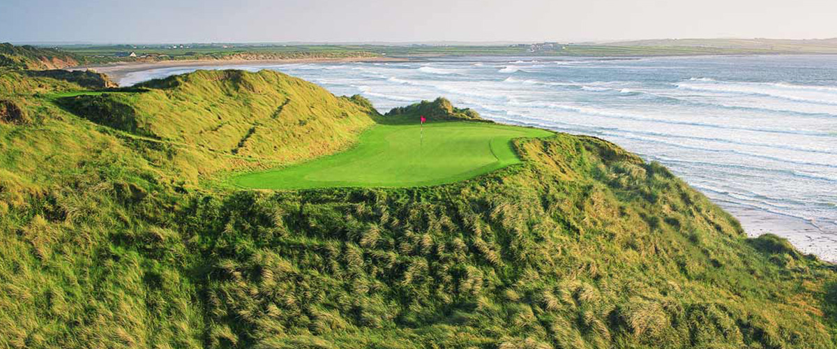 BarrowBarrow, ditch barrow · 559 yd
 Shanaclough Househouse · 562 yd
 Oola HillMountain / peak · 698 yd
 Field system in Shanaclogh EastField system · 769 yd
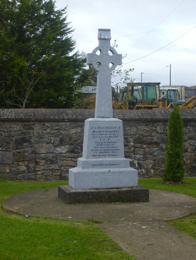 O'Donnell Monumentmonument · 1301 yd
 CastleCastle, ringwork · 1582 yd
 ToberagaddySpring · 4.3 mi
 St. Patrick's WellSpring · 6.6 mi
 Kilteely HillMountain / peak · 6.8 mi
 Flat cemetery in Knockainy WestFlat cemetery · 9.8 mi
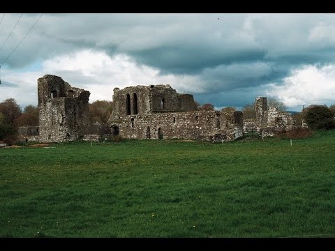 Earthwork in Ballybeg (coonagh By.)Earthwork · 1193 yd
Other information
Photo: Credit not shown in the picture search · Rights wording not checked; contact us if this picture should be removed