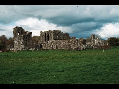
What is recorded here
On poorly drained, partially reclaimed pasture with Tipperary county boundary immediately to E and 70m to S where it is marked by a stream running roughly E-W. Ditch-barrow (TS058-014----) in field 80m to E, earthwork (LI033A010----) 210m to NW. Cropmark of circular-shaped area (diam. c. 31m) defined by a ditch visible on OSi orthophotos and on Google Earth orthoimage. Outline of three possible ditch-barrows to SW visible on Google Earth orthoimage taken 16/01/2022.
See attached Google Earth orthoimages courtesy of Faith Bailey
Compiled by: Caimin O'Brien based on details provided by Faith Bailey
Date of upload: 21 November 2022
The monument record does not grant public access. Check the route and ask the landowner before entering private land.
- What survives
- Recorded monument
Places near here
 BarrowBarrow, ditch barrow · 83 yd
 CastleCastle, ringwork · 498 yd
 Oola Castle (in ruins)Castle, tower house · 1141 yd
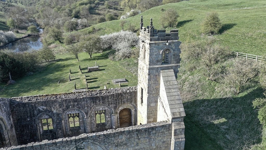 Settlement desertedSettlement deserted, medieval · 1193 yd
 Shanaclough Househouse · 1330 yd
 Oola HillMountain / peak · 1.0 mi
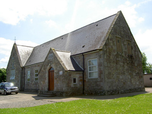 Monard National Schoolschool · 1.1 mi
 ToberagaddySpring · 5.0 mi
 St. Patrick's WellSpring · 7.3 mi
 Kilteely HillMountain / peak · 7.4 mi
 Field system in Shanaclogh EastField system · 1198 yd
 Enclosure in KnockphelaghEnclosure · 1486 yd
Other information
Photo: Credit not shown in the picture search · Rights wording not checked; contact us if this picture should be removed