What is recorded here
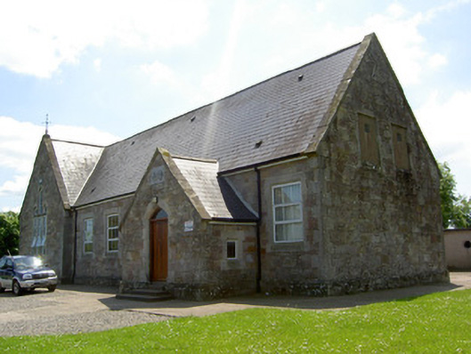
Detached L-plan Tudor Revival style five-bay single-storey primary school, dated 1866, having now disused attic storey, slightly advanced gable-fronted bay to end of façade, gable-fronted entrance porches to other end of façade and to south-east elevation, and having flat-roofed single-storey extension with chimneystack to rear. Pitched artificial slate roofs with replacement uPVC rainwater goods, having cast-iron weather vane to gable-front and limestone coping to gable ends and to porches. Snecked sandstone walls, partly rendered to rear, with cut limestone quoins, plinth, date plaque and 'Girls' and 'Boys' plaques to entrance porches, and having block-and-start cut and tooled limestone surrounds to openings. Pointed trefoil opening over triple pointed segmental lancet windows to gable-front, latter with pointed retaining arch of alternately coloured voussoirs. Square-headed elsewhere to mainly once-mullioned two-light windows, now single windows. All windows have replacement uPVC frames. Four-centered arch door openings with chamfered sandstone surrounds, timber battened doors with overlights, and accessed by steps. Roughly coursed dressed limestone boundary walls, incorporating stiles and having steel gates.
This pleasant Tudor Revival style schoolhouse was built by local landlord Lord Stanley in 1866, in a then prominent location on the Stanley estate. The building originally incorporated the schoolmaster's living quarters in the now disused attic storey. Separate boys' and girls' entrance porches, a common feature in the nineteenth century, are still present. Interestingly Lord Stanley, while Chief Secretary for Ireland, was instrumental in establishing the national school system in Ireland, and much later in his career became British Prime Minister. It displays good-quality stonecraft, especially in its openings and plaques. In spite of modern alterations this building, which is still a functioning schoolhouse, retains its original mid-nineteenth century form and character.
From the Buildings of Ireland (National Inventory of Architectural Heritage) record 22205807
This does not grant access. Most recorded buildings are privately owned; view them only from public ground unless the owner allows entry.
Places near here
Photo credits
- National Inventory of Architectural Heritage
- Falk2, Wikimedia Commons · CC BY-SA 4.0
- Mike Searle, Wikimedia Commons · CC BY-SA 2.0
- EamonnPKeane, Wikimedia Commons · CC0
- Hywel Williams, Geograph · Creative Commons Attribution-ShareAlike 2.0
- Colin Park, Geograph · CC BY-SA 2.0
- CaitNi, Wikimedia Commons · CC BY-SA 4.0
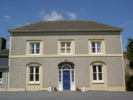 Russelstown HouseCountry house · 604 yd
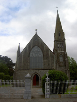 Saint Nicholas's Catholic ChurchChurch/chapel · 1004 yd
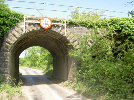 bridge1626 yd
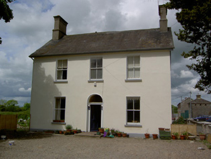 Limerick Junction Railway StationStation master's house · 1.2 mi
 Limerick Junction Railway StationRailway station · 1.2 mi
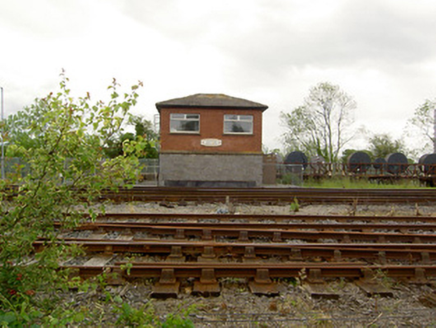 Limerick Junction Railway StationSignal box · 1.3 mi
_-_geograph.org.uk_-_1542131.jpg/250px-Castles_of_Munster,_Oola,_Limerick_(2)_-_geograph.org.uk_-_1542131.jpg "Photo: Mike Searle, Wikimedia Commons · CC BY-SA 2.0") Oola Castle (in ruins)Castle, tower house · 1.4 mi
Oola Castle (in ruins)Castle, tower house · 1.4 mi Standing stone in Longstone (cullen Par.)Standing stone · 2.8 mi
 Coonagh CastleCastle · 5.2 mi
 Ladys WellHoly well · 11 mi
 SlievereaghMountain / peak · 12 mi
 CarrigeenamronetyMountain / peak · 17 mi
More historic places in County Tipperary · All of County Tipperary
What do you know about this place?