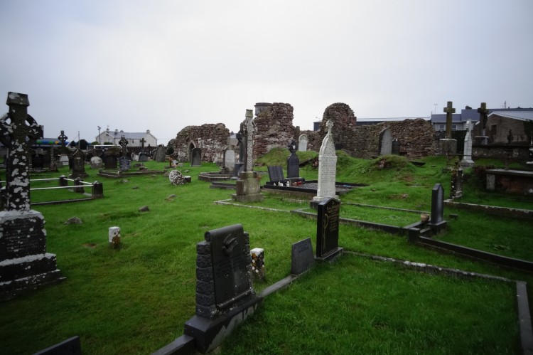
What is recorded here
Annotated 'Grave Yard' on 1840 ed. OS 6-inch map and depicted as a small quarried out pit on subsequent ed. OS 6-inch maps. No surface remains visible of burial ground today on Digital Globe aerial photographs.
Compiled by: Caimin O'Brien
Date of upload: 26 July 2019
The monument record does not grant public access. Check the route and ask the landowner before entering private land.
- What survives
- Recorded monument
Places near here
 Derraun Bridgebridge · 533 yd
 BarrowBarrow, ring-barrow · 964 yd
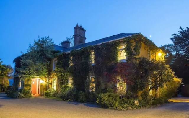 Enclosure in Carrig BegEnclosure · 1269 yd
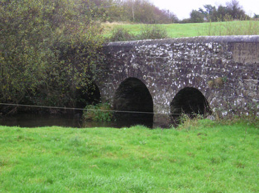 Longford Bridgebridge · 1472 yd
 Coonagh CastleCastle · 1.1 mi
 Longford Castle (in ruins)Castle, unclassified · 1.3 mi
 Oola HillMountain / peak · 2.7 mi
 ToberagaddySpring · 3.2 mi
 KnockseefinMountain / peak · 4.7 mi
 St. Patrick's WellSpring · 6.8 mi
 Flat cemetery in Knockainy WestFlat cemetery · 11 mi
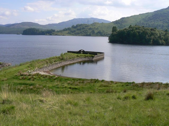 Killarragon Burial GroundChildren's burial ground · 1340 yd
Other information
Photo: Credit not shown in the picture search · Rights wording not checked; contact us if this picture should be removed