
What is recorded here
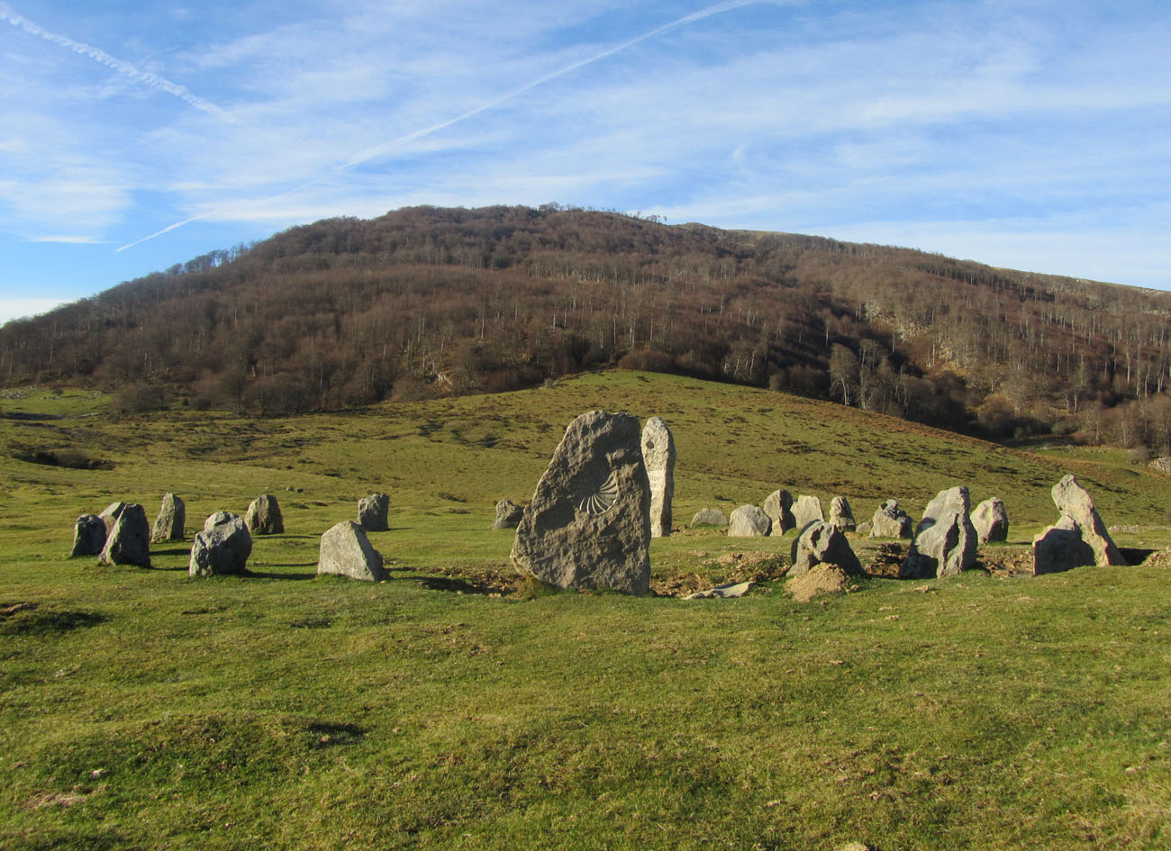
On NW-facing slope of rising ground overlooking Gortnageragh river valley in upland area with nearby enclosure (TS044-002----) to the W. Monument was inaccessible due to its location in a large Coillte planted coniferous plantation. Reported to the OPW as an archaeological monument consisting of a horseshoe-shaped setting of nine small upright stones (avg. dims. H 1ft [0.3m] x Wth 2ft [0.6m]) defining an oval shaped area (4ft [1.2m] x 4ft [1.2m]) open at E side with an outlying orthostat 4 feet [1.2m] to the W (OPW correspondence file).
Compiled by: Jean Farrelly
Date of upload: 26 August 2011
The monument record does not grant public access. Check the route and ask the landowner before entering private land.
- What survives
- Recorded monument
Places near here
 Enclosure in CurraghmarkyEnclosure · 258 yd
 Cromlech (Site of)Megalithic structure · 1.4 mi
 GortnageraghMountain / peak · 1.7 mi
 Commaun Bridgebridge · 1.8 mi
 Gowlagh Bridgebridge · 1.9 mi
 TooreenMountain / peak · 2.5 mi
 Site of CastleCastle, unclassified · 3.6 mi
 Shanaclogh CastleCastle, unclassified · 4.4 mi
 Green Field ParkWood · 5.2 mi
 Gortard WoodForest · 6.4 mi
 Sliev Felim WayVisitor information · 8.9 mi
 Graveyard in AbingtonGraveyard · 9.8 mi
Other information
Photo: Credit not shown in the picture search · Rights wording not checked; contact us if this picture should be removed