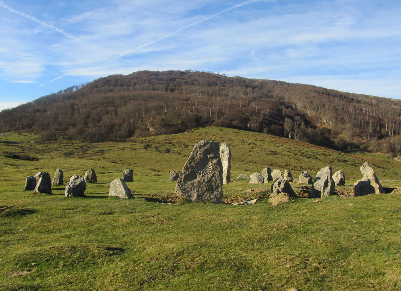
What is recorded here
On top of a low hillock in an upland area with good extensive views in all directions. It is not visible at ground level. A field boundary to the E of the monument has been partially removed, with a modern bungalow in close vicinity. It is marked 'Cromlech' on the 1st ed. (1840) 6-inch map and is described in the OS letters (O'Flanagan 1930, vol. 1, 100) as a dolmen whose orientation is 'east and west' and which 'slopes or inclines to the west. The top flag measures seven feet [2.1m] from east to west and four feet eight inches [1.41m] from north to south. The stones on which this flag rests are buried deep in the earth and their measurements could not be obtained'. (Borlase 1897, vol.1, 54; De Valera & Ó Nualláin 1982, vol.4, 99)
Compiled by: Jean Farrelly
Date of upload: 26 August 2011
The monument record does not grant public access. Check the route and ask the landowner before entering private land.
- What survives
- Recorded monument
Places near here
 Gowlagh Bridgebridge · 1568 yd
 Hut site in CurraghmarkyHut site · 1.4 mi
 Enclosure in CurraghmarkyEnclosure · 1.4 mi
 Anglesey Bridgebridge · 1.5 mi
 TooreenMountain / peak · 2.1 mi
 GortnageraghMountain / peak · 3.0 mi
 Site of CastleCastle, unclassified · 5.0 mi
 Castle WellerCastle · 8.1 mi
 Sliev Felim WayVisitor information · 9.1 mi
 Graveyard in AbingtonGraveyard · 10 mi
 Killavalla WoodForest · 10 mi
 St. Patrick's WellSpring · 13 mi
Other information
Photo: Credit not shown in the picture search · Rights wording not checked; contact us if this picture should be removed