
What is recorded here
On poorly drained SW-facing slope of rising ground in upland area with panoramic views from SE through S to W over counties Tipperary and Limerick. Field ditch runs across E quadrant of monument on a NNE-SSW axis. Field on both sides of possible ringfort has been recalimed with ringfort omitted from such work. Interior is covered in reeds and heather making detailed examination impossible. Monument appears to consist of a slightly raised circular area (diam. 31m N-S) enclosed by an earthen bank (Top Wth 1.5m; base Wth 3m; ext. h 0.2m; int. H 0.3m) with traces of an external fosse (Wth 3m; ext. D 0.2m) best visible from S to W only.
Compiled by: Jean Farrelly
Date of upload: 26 August 2011
A local fairy fort (ringfort/rath); wider significance not recorded.
The monument record does not grant public access. Check the route and ask the landowner before entering private land.
- What survives
- Recorded monument
Places near here
 Enclosure in Kilmore (toem Par.)Enclosure · 1264 yd
 Enclosure in Moher EastEnclosure · 1.1 mi
 Site of CastleCastle, unclassified · 1.2 mi
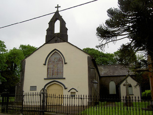 Cappawhite Catholic Churchchurch/chapel · 1.4 mi
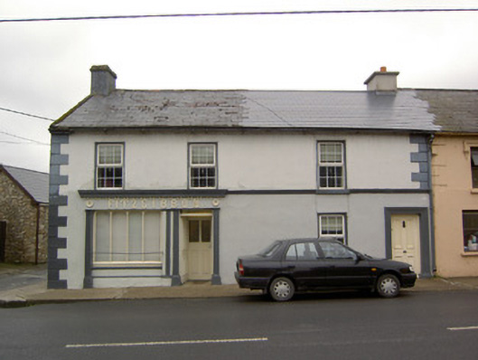 Fitzgibbonhouse · 1.4 mi
 Shanaclogh CastleCastle, unclassified · 1.6 mi
 GortnageraghMountain / peak · 2.3 mi
 Green Field ParkWood · 2.4 mi
 TooreenMountain / peak · 3.9 mi
 Gortard WoodForest · 4.1 mi
 Sliev Felim WayVisitor information · 10 mi
 St. Patrick's WellSpring · 11 mi
Other information
Photo: Credit not shown in the picture search · Rights wording not checked; contact us if this picture should be removed