
What is recorded here
On a S-facing slope of poorly drained land in upland area. The terrain is very wet and marshy where the monument is marked on the 1st (1840) ed. OS 6-inch map. It is depicted as a small circular enclosure (diam. c. 11m) on the 1st (1840) ed. OS 6-inch map and not marked on the subsequent 1903 edition. Monument not accessible due to presence of large deep drain. A grove of trees is visible in the area where the monument is marked on the OS 6-inch map.
Compiled by: Jean Farrelly
Date of revised upload: 15 June 2015
The monument record does not grant public access. Check the route and ask the landowner before entering private land.
- What survives
- Recorded monument
Places near here
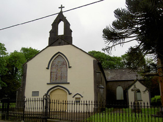 Cappawhite Catholic Churchchurch/chapel · 1199 yd
 IndicatedFairy fort / earthen ringfort · 1264 yd
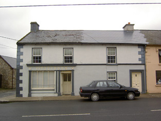 Fitzgibbonhouse · 1274 yd
 Ladys WellHoly well · 1464 yd
 Shanaclogh CastleCastle, unclassified · 1536 yd
 Site of CastleCastle, unclassified · 1.0 mi
 Green Field ParkWood · 1.7 mi
 GortnageraghMountain / peak · 2.9 mi
 Gortard WoodForest · 3.7 mi
 TooreenMountain / peak · 4.5 mi
 Sliev Felim WayVisitor information · 11 mi
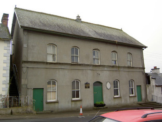 Cappawhite Parochial Hallhall · 1319 yd
Other information
Photo: Credit not shown in the picture search · Rights wording not checked; contact us if this picture should be removed