
Places near here
Photo credits
- Oliver Dixon, Geograph · CC BY-SA 2.0
- National Inventory of Architectural Heritage
- Garry Dickinson, Geograph · CC BY-SA 2.0
- Kieran Campbell, Geograph · Creative Commons Attribution-ShareAlike 2.0
- Kmcnamee, Wikimedia Commons · CC BY-SA 4.0
 Port OrielPicnic place · 289 yd
Explorer Tom Port Oriel is a picnic spot where a seagull once stole a whole sausage roll and refused to let go until three people…
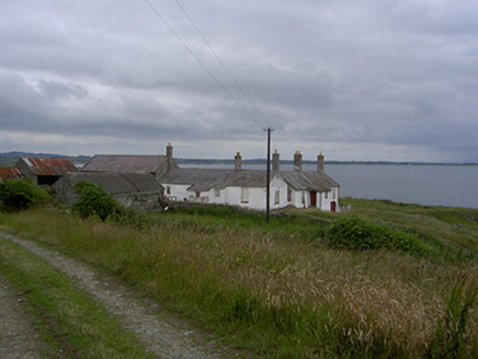 KillabushFarm house · 1008 yd
Explorer Tom Killabush in Clogher is hiding a scandal where a farmer hid his wedding cake in the outbuildings for decades. It sits…
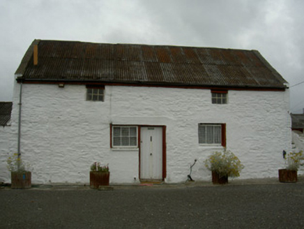 farmyard complex1145 yd
Explorer Tom Farmyard complex in Callystown hosted a dance that went too far last Tuesday. The limewashed walls are still blushing…
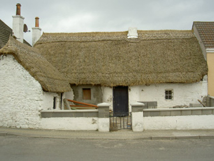 Cove CottageHouse · 1197 yd
Explorer Tom Cove Cottage in Callystown inspired a terrible poem about its thatched ridge details which nobody wants to hear twice.…
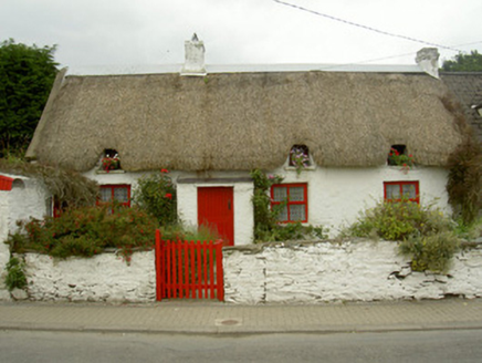 Red Door CottageHouse · 1278 yd
Explorer Tom Red Door Cottage in Callystown is sick of being asked if the door actually opens, even though it’s just painted red for…
 Castle RuinsCastle, tower house · 1.1 mi
Explorer Tom Castle Ruins at Glaspistol has an imaginary twin across the sea that keeps sending it postcards from places that don't…
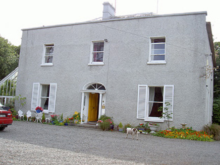 Glaspistol HouseHouse · 1.1 mi
Explorer Tom Glaspistol House in Glaspistol hates visitors who bring their own conservatories, so don’t even think about it. It’s…
 Saint Michael's Catholic ChurchChurch/chapel · 1.4 mi
Explorer Tom Saint Michael's Catholic Church in Callystown handles nosey neighbours by just standing there with its arms crossed.…
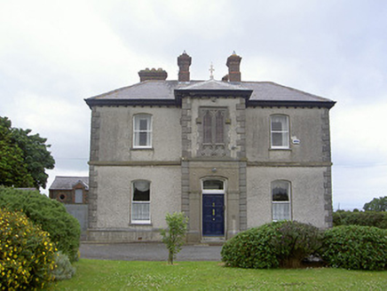 presbytery/parochial/curate's house1.5 mi
Explorer Tom Presbytery at Hacketts Crossroads is the awkward uncle at the wedding who stands in the doorway. It’s got a mirrored…
 Dreadnots GAA, ClogherheadGAA ground · 1.5 mi
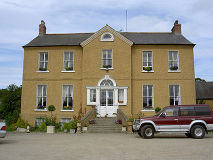 Rath HouseCountry house · 2.5 mi
Explorer Tom Rath House tells its younger self to stop slouching and straighten that Venetian doorway. The central breakfront is an…
 Castle in ClonmoreCastle, tower house · 4.8 mi
Explorer Tom Castle in Clonmore has a hidden treasure that is definitely just a biscuit tin left by a confused Victorian lady. Only…
More archaeology and monuments in County Louth · All of County Louth

What do you know about this place?Tap to add a comment or ask a question