Places near here
Photo credits
- National Inventory of Architectural Heritage
- Golfing in Ireland; photographer not stated, Source publisher
- Kmcnamee, Wikimedia Commons · CC BY-SA 4.0
Explorer Tom Tondrislee Fort saw the most dramatic event: a sheep fell in and got stuck. The whole village watched. Tell your mates…
TobermochullaHoly well · 669 ydExplorer Tom Tobermochulla in Drummod hears everything through the walls, including your mum asking if you’re eating enough. I…
KnocklaurMountain / peak · 858 ydExplorer Tom Knocklaur thinks the rabbits living around its base are actually managing the whole operation and keeping it looking…
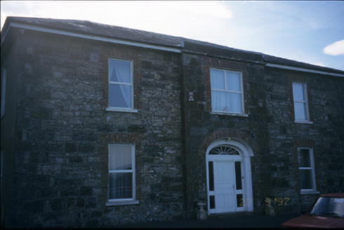 Fort EdwardHouse · 1429 yd
Explorer Tom Fort Edward in Coolready isn't really a fort, it's a house with a breakfront and a superiority complex. It used to be a…
Ragmount HillMountain / peak · 1727 ydExplorer Tom Ragmount Hill would survive a zombie attack by simply standing still and letting them slide off its rugged, uneven…
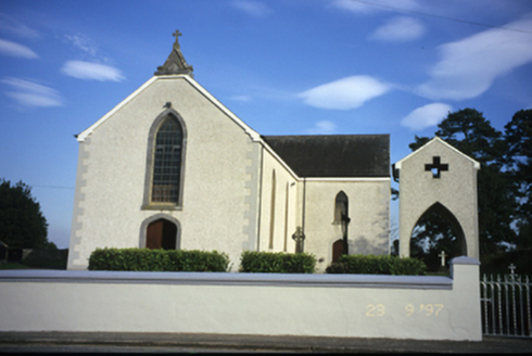 Catholic Church of Our Lady of the AssumptionChurch/chapel · 1.0 mi
Explorer Tom Catholic Church of Our Lady of the Assumption in Coolready sounds like it’s floating, which is a lie, but a nice one.…
Caherhurly Castle (in Ruins)Castle, unclassified · 1.4 miExplorer Tom Caherhurly Castle is unclassified, which basically means it hasn't decided what it wants to be yet. The fiddler who…
Coolreagh House (in Ruins)Castle, tower house · 1.7 miExplorer Tom Coolreagh House in Coolreagh More has an unknown precise location, so you might be standing on it right now without…
East Clare WayWalking route · 2.0 miExplorer Tom East Clare Way made a New Year’s resolution to stop looking so intimidatingly beautiful, but honestly, it hasn’t stuck…
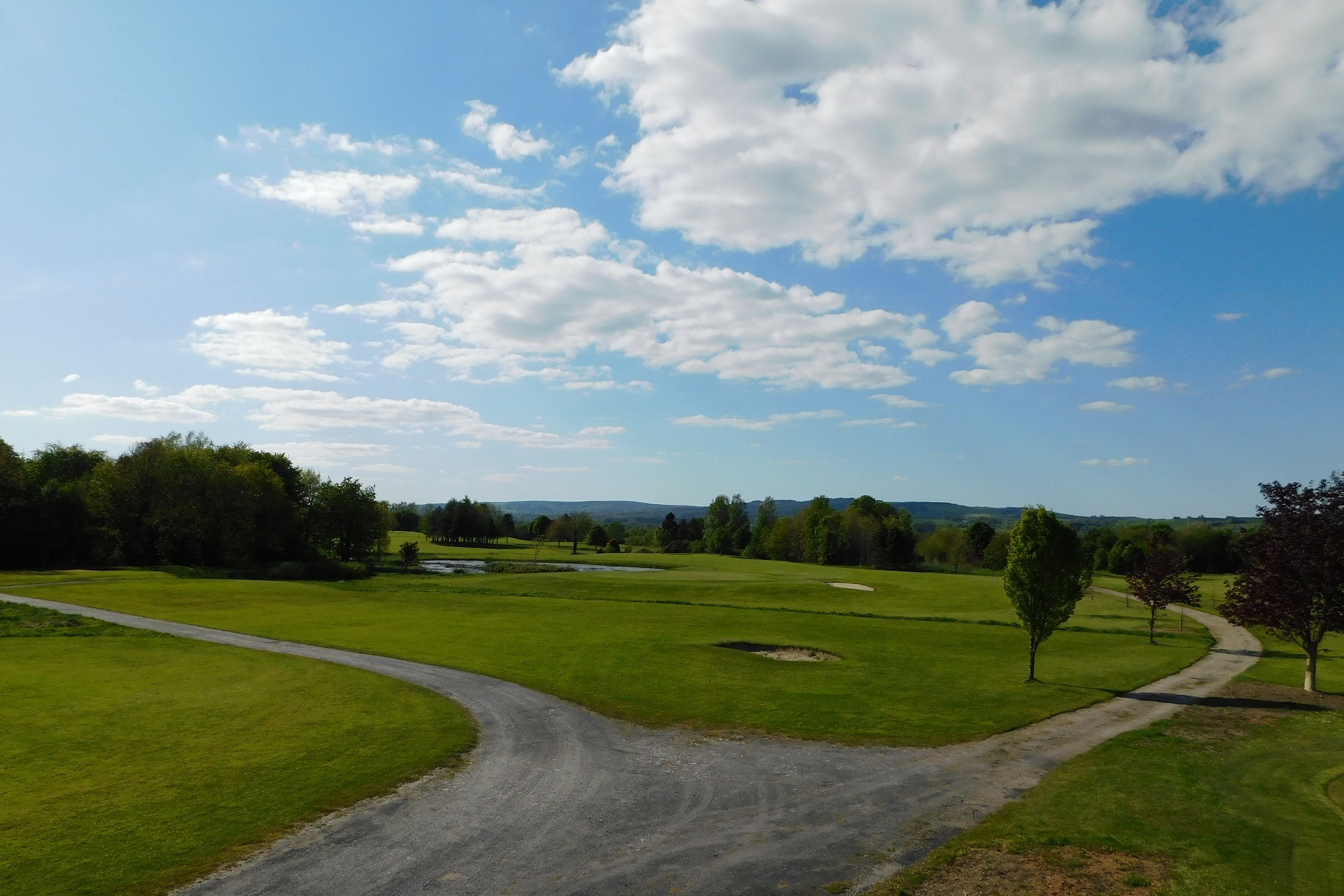 East Clare Golf ClubGolf course · 2.1 miViolet Hill Loop WalkWalking route · 3.9 mi
Explorer Tom Violet Hill Loop Walk refuses to fall down because it’s got too much pride invested in standing tall, even when the…
 Bodyke GAA pitchGAA ground · 4.1 mi
More archaeology and monuments in County Clare · All of County Clare

What do you know about this place?Tap to add a comment or ask a question