
What is recorded here
From OpenStreetMap (© OpenStreetMap contributors) n11945951982
Places near here
Photo credits
- National Inventory of Architectural Heritage
- Maker not stated on source page, en.m.wikipedia.org
- Maker not stated on source page, www.dreamstime.com
- Roger Diel, Geograph · CC BY-SA 2.0
- Golfing in Ireland; photographer not stated, Source publisher
- Kmcnamee, Wikimedia Commons · CC BY-SA 4.0
- Maker not stated on source page, www.alamy.com
- Maker not stated on source page, uk.pinterest.com
- Maker not stated on source page, ca.pinterest.com
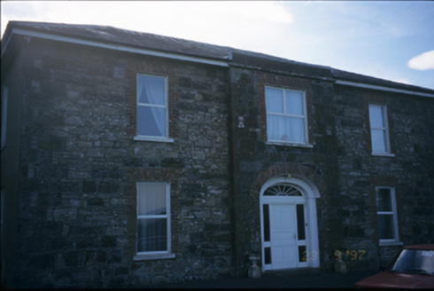 Fort EdwardHouse · 1.0 mi
Explorer Tom Fort Edward in Coolready isn't really a fort, it's a house with a breakfront and a superiority complex. It used to be a…
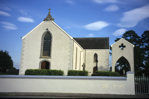 Catholic Church of Our Lady of the AssumptionChurch/chapel · 1.2 mi
Explorer Tom Catholic Church of Our Lady of the Assumption in Coolready sounds like it’s floating, which is a lie, but a nice one.…
 Enclosure in BallydonaghanEnclosure · 1.3 mi
Explorer Tom Ballydonaghan Enclosure caused a massive parish argument over who owned the ditch. They settled it by drinking. Perfect…
Enclosure in CaherhurlyEnclosure · 1.3 miExplorer Tom Enclosure in Caherhurly has no info, so let’s joke about its rivalry with a more famous place just down the road. I bet…
 Standing stone in Coolreagh MoreStanding stone · 1.6 mi
Explorer Tom Standing stone in Coolreagh More despises one specific visitor who once tried to lick its face, claiming they heard it…
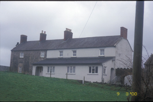 Derrymore HouseCountry house · 1.8 mi
Explorer Tom Derrymore House hears every secret whispered through its thick walls, acting as the ultimate gossip hub for the…
 Ballynahinch Castle (in Ruins)Castle, unclassified · 2.0 mi
Explorer Tom Castle in Ballymulcashel has a curse for anyone who doesn't wave at it first. It’s perched high up, so if you ignore…
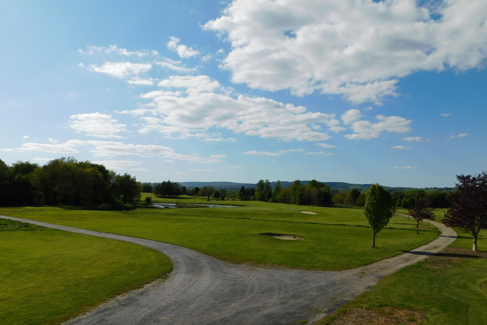 East Clare Golf ClubGolf course · 2.1 mi
 Bodyke GAA pitchGAA ground · 3.9 mi
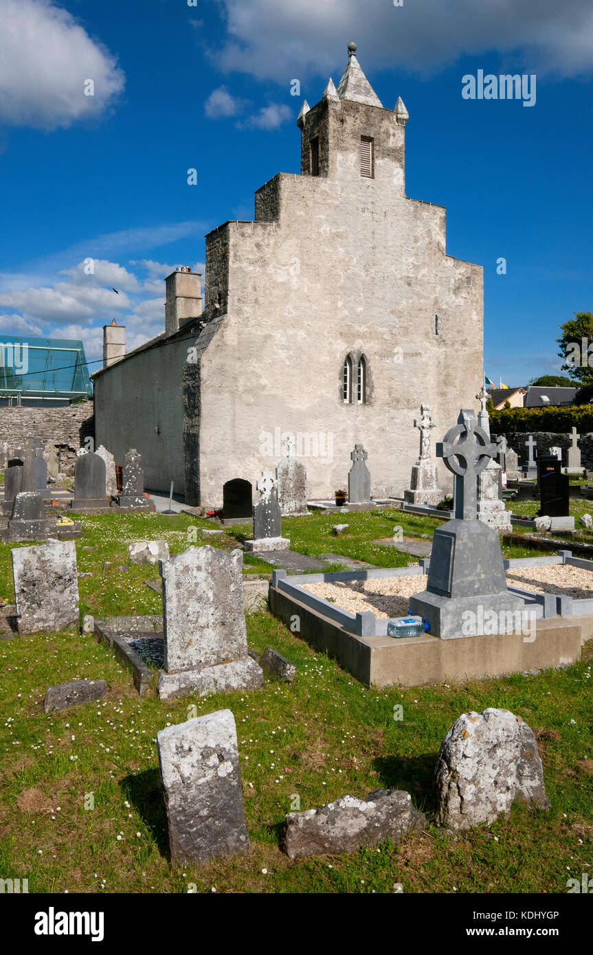 Kilbane Church and CemeteryGraveyard · 5.2 mi
Explorer Tom Kilbane Church and Cemetery is stuck in a bit of a mapping tangle because the surveyors clearly mistook a potato field…
 Ballykelly Castle (in Ruins)Castle, tower house · 5.2 mi
Explorer Tom Ballykelly Castle in Ballykelly would make Saint Patrick laugh at his own jokes if he saw it now. It’s a tower house…
 Mapped cemeteryCemetery · 6.6 mi
Explorer Tom It’s locked in a staring contest with that big oak tree right next door, and honestly, the tree is winning. You should…
More mountains and hills in County Clare · All of County Clare

What do you know about this place?Tap to add a comment or ask a question