
What is recorded here
In pasture. Roughly centrally placed within Sadleirswells townland which, in the 17th century and probably earlier, was called Tobberbrien (Down Survey map (1655-6) Hibernia Regnum, courtesy of Trinity College Dublin; Civil Survey (1654-5) Simington 1934 vol. 2, 38). The well is indicated on the 1st (1840) ed. OS…
Read the whole record
From the National Monuments Service (Archaeological Survey of Ireland) record TS059-204
Places near here
Photo credits
- National Inventory of Architectural Heritage
- Maker not stated on source page, commons.wikimedia.org
- Maker not stated on source page, www.ireland.com
- Maker not stated on source page, www.pinterest.com
- A bit iffy, Wikimedia Commons
 Kingswell HouseFarmyard complex · 275 yd
Explorer Tom Kingswell House had the whole parish arguing about whether the gateway was too fancy or not enough, so it’s still…
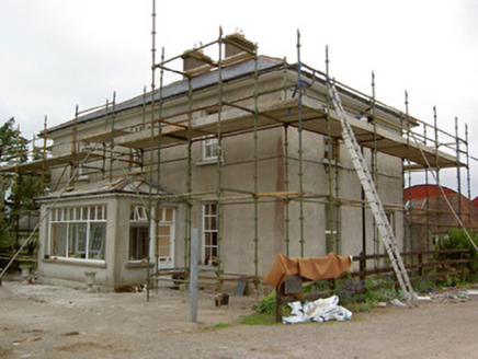 Greenrath HouseHouse · 1142 yd
Explorer Tom Greenrath House in County Tipperary has an old friend hiding behind its fancy Georgian face. It’s the original…
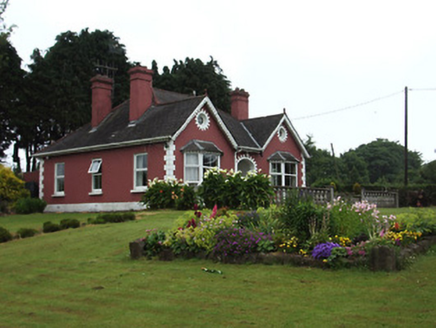 The BungalowHouse · 1631 yd
Explorer Tom The Bungalow in Carrownreddy smells like fresh paint and old secrets, according to Tom’s very scientific nose. It’s got…
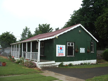 Rosanna Tennis ClubSports hall/centre/gymnasium · 1668 yd
Explorer Tom Rosanna Tennis Club in Carrownreddy makes a loud clanking noise at night when the wind hits its corrugated-iron walls.…
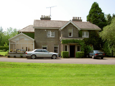 The ValeHouse · 1709 yd
Explorer Tom The Vale in Murgasty, County Tipperary would win the county fair best-in-show award by simply standing there with its…
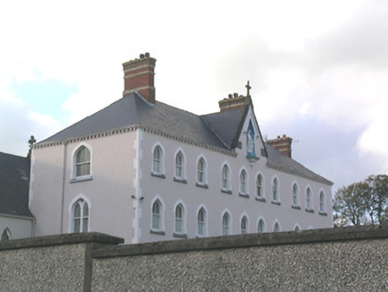 Rosanna Convent of MercyConvent/nunnery · 1710 yd
Explorer Tom Rosanna Convent of Mercy has those polychrome chimneys that look like they’re about to start a rock band. I heard the…
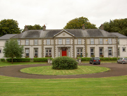 Mount SionSchool · 1.0 mi
Explorer Tom Mount Sion in Murgasty looks like it was built by a Christian Brother who really, really wanted a crown, with its fancy…
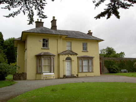 Friarsfield HouseHouse · 1.0 mi
Explorer Tom Friarsfield House in Friarsfield has a pedimented porch that looks like it's about to bow politely, but it never does.…
 Standing stone in Springfield (tipperary Par.)Standing stone · 1.0 mi
Explorer Tom This standing stone in Springfield is tilted so far east it’s practically checking its watch for the sun to come up.…
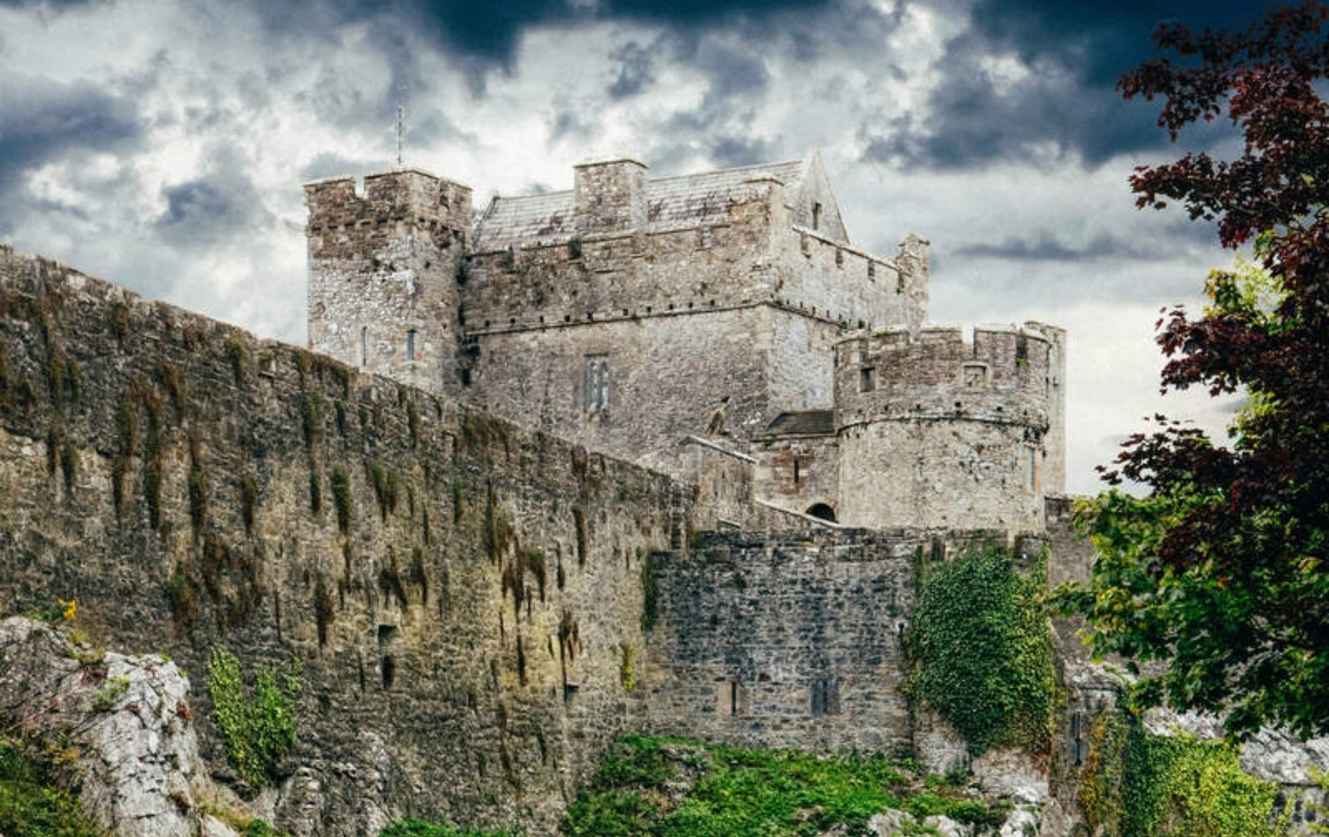 Castle (Site of)Castle, unclassified · 1.4 mi
Explorer Tom Castle in Knockanrawley would cope terribly on a reality show because it’s been destroyed by housing estates. It’s now…
 Holy well in Town LotHoly well · 1.4 mi
Explorer Tom Holy well in Town Lot used to hide behind a house on Main Street before getting sealed up for good. It’s basically…
 Sean Treacy ParkGAA ground · 1.6 mi
Explorer Tom Sean Treacy Park wears its Arravale Rovers badge proudly, as if the clubhouse were daring visitors to forget where they…
More archaeology and monuments in County Tipperary · All of County Tipperary

What do you know about this place?Tap to add a comment or ask a question