What is recorded here
Situated on poorly drained grassland with stream to 55m to SE. Area of scrub and trees visible today on Digital Globe orthophotos taken 2011-13. Spring well associated with the 1690 Siege of Limerick and named after King William. Described by Lenihan (1866, 228-9) as following; 'In a field about 50 yards from the high road, and nearly opposite Singland House, on the other side of the road. A stream of pure water runs to the road from the well, and joins another stream from the well of Shesharee, which is some distance off, on another road. King William's well is deep, but covered with a thick coating of leaves and greenish, weedy, deposit, which conceals its waters from the view - at least so it was on the beautiful evening I visited the locality. Tradition says that a large flag or standard lies buried in a field near the well. There are other evidences hereabouts, that it was the site of a camp; and the well is said to have supplied William's troops with water during both sieges'.
Compiled by: Caimin O'Brien
Date of upload: 8 June 2020
The monument record does not grant public access. Check the route and ask the landowner before entering private land.
- What survives
- Recorded monument
Places near here
 Furnace in CrabbslandFurnace · 504 yd
 St. Nicholas WellHoly well · 847 yd
 Ballysimon MillsWater mill, vertical-wheeled · 1318 yd
 house, farm househouse, farm house · 1362 yd
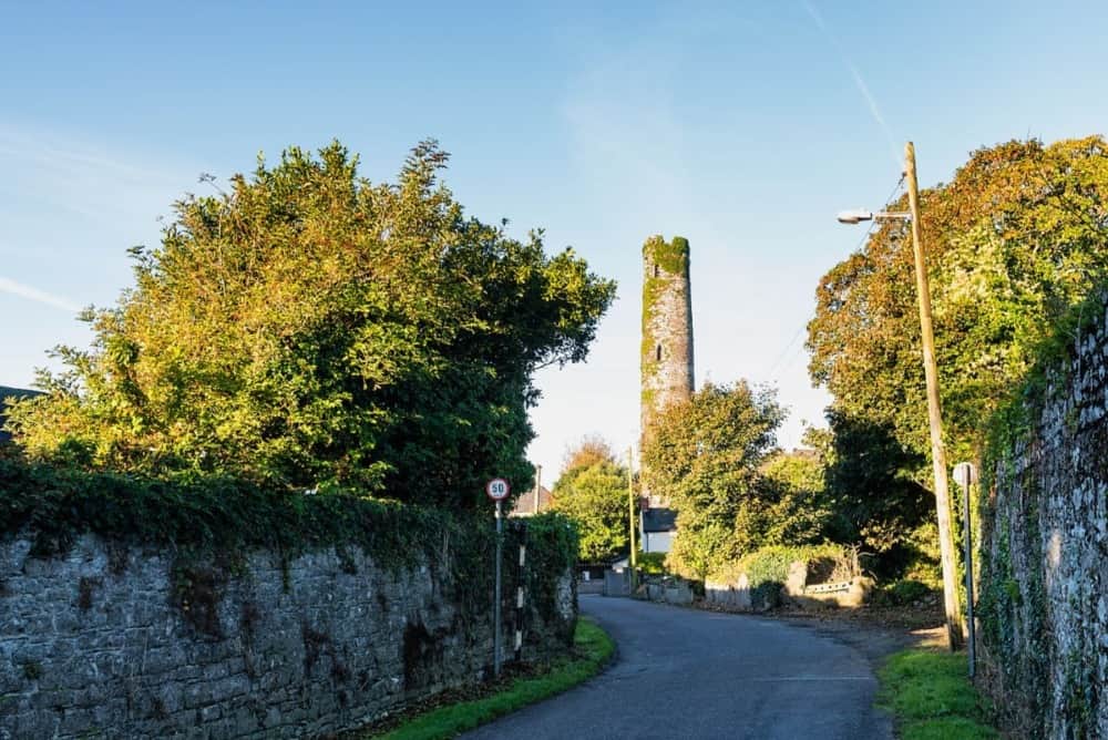 Round Tower (Site of)Castle, tower house · 1425 yd
 St. Patrick's WellSpring · 1531 yd
 New CastleCastle · 1600 yd
 University of Limerick FlagpostsHeritage attraction · 1.1 mi
 Visitor CentreVisitor information · 1.4 mi
 Fountain SculptureHeritage attraction · 1.4 mi
 Campus MapVisitor information · 1.4 mi
 Sarsfield Memorialmonument · 1.5 mi