DDiscover AloneMapAbout

Killare Church

Church

The monument record does not grant public access. Check the route and ask the landowner before entering private land.

What do you know about this place?Tap to add a comment or ask a question

What you write will be public.

What is recorded here

On a rise of ground in undulating countryside with good views in all directions. Killare (Cill Áir/Cill Fháir) was founded in the late 6th century by Áed Mac Bricc who built three churches at Killare, these were St. Aedh's Church (WM024-057----), Temple Brigid (WM024-054001-) and 'aula' [hall/court] of St. Brigid'…

Read the whole record
On a rise of ground in undulating countryside with good views in all directions. Killare (Cill Áir/Cill Fháir) was founded in the late 6th century by Áed Mac Bricc who built three churches at Killare, these were St. Aedh's Church (WM024-057----), Temple Brigid (WM024-054001-) and 'aula' [hall/court] of St. Brigid' (Gwynn and Hadcock 1970, 392). Nearby monuments include, Anglo-Norman motte castle (WM024-053----) 230m to N, ringfort (WM024-055----) 160m to SSE, ringfort (WM024-052----) 520m to W, St. Bridget’s Church (WM024-054001-) and holy well (WM024-054002-) 290m to NW. On the 1656-9 Down Survey map of Killare parish (NLI MS 723-4) the medieval church with its glebe lands to the E are depicted S of a medieval road running E-W. The Anglo-Norman motte & bailey castle (WM024-053----) is located immediately N of this medieval road. This section of road depicted on the Down Survey map follows the current line of the Ballymore-Mullingar road (R390). On the Down Survey map this road turns N towards Gibstown at the present crossroads at Killare. This road runs past a stone castle (WM024-049003-) as depicted on the Down Survey map. Annotated 'Ch. Ruin' ell on an estate map dating from 1828 (NLI, MS 21 F. 48 (024) ). According to Lewis (1837, 126) a ‘religious house was founded here at a very early period, and subsequently became the head of a small see, of which St. Aid [Aodh of Ráith Aodha/Hugh of Rahugh] is said to have been bishop in 588’. Aodh of Rahugh (WM038-041----) was also the patron of the churches as Killare (Ceall Áir) and Slieve League (DG090-004001-), Co. Donegal (Ó Riain 2011, 66). Aodh was son of Cormac Breac of the Cinéal Fiachach of Moycashel, his mother was Eithne of the Múscraighe Tíre in Ormond [North Tipperary] (ibid., 66-7). Aodh was reputedly born in the townland of Killare. The ninth-century Life of Brighid of Kildare mentions that Aodh cured Brighid who is currently the patron saint of Killare and whose holy well (WM024-054002-) is located to the E of a small church (WM024-054001-) (ibid.) Aodh’s feastday is traditionally celebrated on the 10th of November but was also commemorated on the 28th of February, 4th of May and 16th of November (ibid., 68). According to Colgan, ‘there were three churches at Killare, the first dedicated to St. Aedh was parochial, the next was called Temple Brigid (WM024-054001-), and the third the Court of St. Brigid’ (Woods 1907, 249). Colgan also recorded that ‘there was also three fountains or wells, the water of which uniting miraculously together turned a neighbouring mill. One of the wells was dedicated to St. Aedh, the second to St. Brigid (WM024-054002-), and the third very probably to St. Conran [Cuman]’ (ibid.). Listed as the 'Church de Kylfare' in the 1306 ecclesiastical taxation of Ireland where it was valued as 10l. 10s. (Cal. doc. Ire., 258, 266). Ruins of a rectangular church (ext. dims. 8m N-S; 22m E-W) possibly dedicated to St. Aodh/Hugh standing in the N quadrant of a rectangular-shaped graveyard (WM024-057001-) defined by a stone wall. Only the ivy-covered W gable (H c. 6m; L 8m) of the church survives intact and a section of the NW angle as depicted on the current ed. OS 6-inch map. On the 1837 ed. OS 6-inch map a small tower is depicted at the W end of the church. Although covered in ivy the top of the W gable appears to have been stepped. A broken out flat-headed rectangular-shaped ivy-covered window survives in the centre of the W wall c. 2.5m high above the surface of the graveyard. Only a short section of the poorly preserved ivy-covered N wall (L 4m; H 4m) survives above ground at NW angle where it runs onto the W gable. Only the low grass-covered wall footings survive of the remaining section of the N wall. A grass-covered pile of rubble stone marks the line of the collapsed E gable. There are no surface remains visible of the S wall. Post-medieval gravestones are now located inside the church ruins. There are the remains of two post-medieval buildings in the graveyard to the S and SW of the church as depicted on the 1837 ed. OS 6-inch map.

From the National Monuments Service (Archaeological Survey of Ireland) record WM024-057

Places near here

Photo credits
  • Maker not stated on source page, www.pinterest.com
  • Willow, Wikimedia Commons · CC BY 2.5
  • Bridget Neville, Wikimedia Commons · CC BY-SA 4.0
  • National Inventory of Architectural Heritage
  • Maker not stated on source page, in.pinterest.com
  • Maker not stated on source page, irisharchaeology.org
  • Abi Skipp, Wikimedia Commons · CC BY 2.0
  • Maker not stated on source page, www.alamy.com
  • Maker not stated on source page, uk.finance.yahoo.com
CastleCastle, motte and bailey · 272 yd

Explorer Tom Killare Castle would review its visitors as 'too loud' and 'not enough historical context' in its diary. It has been…
European ash310 yd

Explorer Tom European ash in County Westmeath has developed a serious suspicion of the postman after seeing him deliver a letter to…

Brides WellHoly well · 317 yd

Explorer Tom Brides Well is where the whole parish argued about who got to say grace before drinking, which sounds like my family…

bridge326 yd

Explorer Tom Bridge in Ardbrennan is giving a speech to the modern concrete bridge that replaced most of its cousins, telling them…

The Cat StoneArchaeological place · 1106 yd

Explorer Tom The Cat Stone in County Westmeath is playing hard to get, pretending it's just a regular rock while actually being an…

Fairy fort / earthen ringfort in ArdbrennanFairy fort / earthen ringfort · 1147 yd

Explorer Tom Fairy fort / earthen ringfort in Ardbrennan is secretly proud of the potato it grew last year, even though the bank is…

Fairy fort / earthen ringfort in Carn (rathconrath By.)Fairy fort / earthen ringfort · 1377 yd

Explorer Tom Fairy fort / earthen ringfort in Carn is perched on a prominent rise with an oval shape that defies basic geometry.…
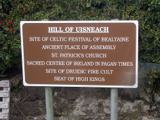
Hill of UisneachMountain / peak · 1487 yd

Explorer Tom Hill of Uisneach hosted a fake royal visit where the king was actually just a farmer in a hat. It’s the centre of…
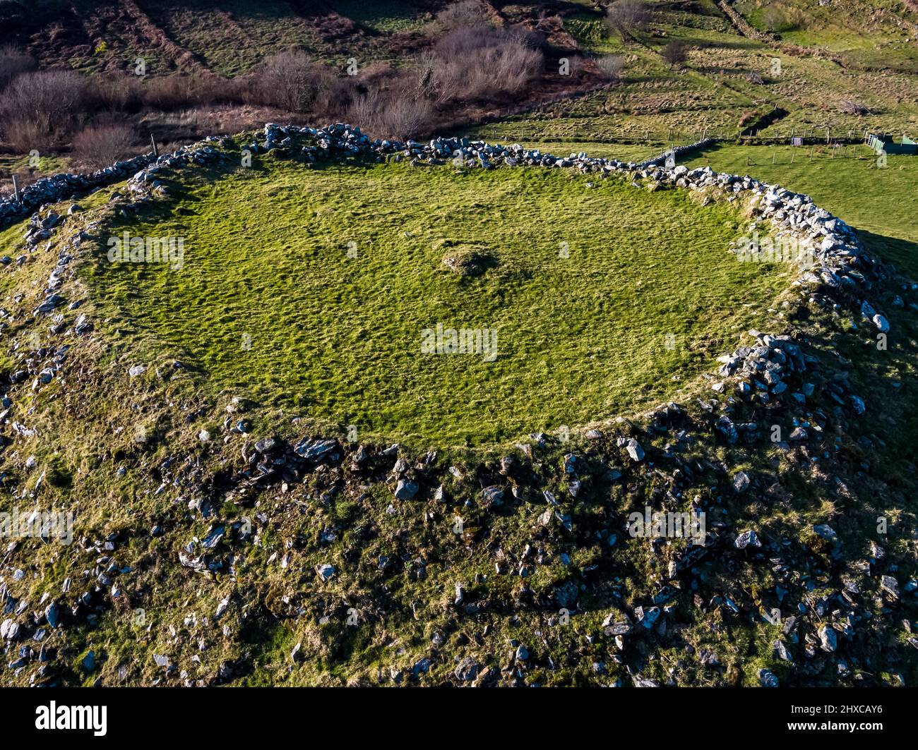
Fairy fort / earthen ringfort in BalliniveFairy fort / earthen ringfort · 1737 yd

Explorer Tom Fairy fort / earthen ringfort in Ballinive would tell the field boundary that replaced its entrance that it’s been…

Killeenbrack CastleCastle, tower house · 1.1 mi

Explorer Tom Killeenbrack Castle has been changing its name so much it's got identity issues, like a chameleon who can't commit to…

Flat cemetery in Carn (rathconrath By.)Flat cemetery · 1.3 mi

Explorer Tom Flat cemetery in Carn, County Westmeath gets its name from 'Carn', which definitely means 'slippery rock' if you squint…
Lurgan HouseCountry house · 1.5 mi

Explorer Tom Lurgan House in Tobercormick is getting picked on by the wind because it’s too symmetrical and proud of its…

More historic places in County Westmeath · All of County Westmeath

Add to this placeAdd a picture Add a detailed tip Add a story

Explore the map1,095,414 places to discover

Next place · or swipeCastle