What is recorded here
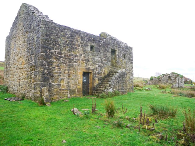
On a low rise of ground in undulating countryside. Nearby monuments include, Anglo-Norman motte castle (WM024-053----) 230m to N, ringfort (WM024-055----) 160m to SSE, ringfort (WM024-052----) 520m to W, St. Bridget’s Church (WM024-054001-) and holy well (WM024-054002-) 290m to NW, site of stone castle (WM024-049003-) 450m to NNW. Ruins of a rectangular church (WM024-057----) possibly dedicated to St. Aodh/Hugh standing in the N quadrant of a rectangular-shaped graveyard (dims. 65m N-S; 60m E-W) defined by a stone wall. The graveyard contains post-medieval gravestones several of which are located inside the church ruins. There are the remains of two buildings in the graveyard to the S and SW of the church as depicted on the 1837 ed. OS 6-inch map. One of these buildings was probably a private family burial vault in the SW quadrant of the graveyard is aligned E-W and is divided into two chambers, the E chamber measures 6m N-S x 4m E-W, the W chamber measures 6m N-S x 4m E-W. A wall runs N off the NW angle of this building. A 19th century mausoleum (dims. 5m N-S x 6m E-W) belonging to the Nugent family of Ballinacor is located in the SE corner of the graveyard. A plaque on the building records that this tomb was erected by John Nugent of Rosemount in memory of his wife Anna Mary who died 22 Feb. 1876. A yew-lined avenue or walkway running E-W and leading up to this mausoleum can still be seen running parallel to the S wall of the graveyard.
Compiled by: Caimin O’Brien
Date of upload: 22 July 2014
The monument record does not grant public access. Check the route and ask the landowner before entering private land.
- What survives
- Recorded monument
Places near here
 Killare ChurchChurch · 12 yd
 European ashEuropean ash · 322 yd
 Brides WellHoly well · 329 yd
 bridgebridge · 337 yd
 Bawn in KillarecastleBawn · 516 yd
 Enclosure in KillarechurchEnclosure · 783 yd
 Hill of UisneachMountain / peak · 1484 yd
 Killeenbrack CastleCastle · 1.1 mi
 Sam's ParkForest · 2.0 mi
 KnockastiaMountain / peak · 3.7 mi
 Craft WorkshopHeritage attraction · 7.4 mi
 Guest ServicesVisitor information · 7.4 mi