What is recorded here
Sited on top of a prominent rise, in gently undulating pasture. Monument described in 1971 as an oval-shaped area (dims. 20.1m E-W; 19.5m N-S) enclosed by a bank, an intervening fosse and an outer bank. The inner bank (Wth at top 0.8m; basal Wth 1.1m) of earth and stone has several slight depressions at W and a gap at NE which may represent the entrance. The intervening fosse is well-defined. The remains of a outer bank of stone are best defined at SE and NNW and are much disturbed at NE, where there is a modern depression (Wth at top 3.4m; basal Wth 1.4m; D 0.35m). The interior has a slight ESE-facing slope and no features of significance.
Compiled by Alison McQueen, Vera Rahilly and Caimin O’Brien.
Date of upload: 27 August 2019
The monument record does not grant public access. Check the route and ask the landowner before entering private land.
- What survives
- Recorded monument
Places near here
 OutlinedFairy fort / ringfort · 226 yd
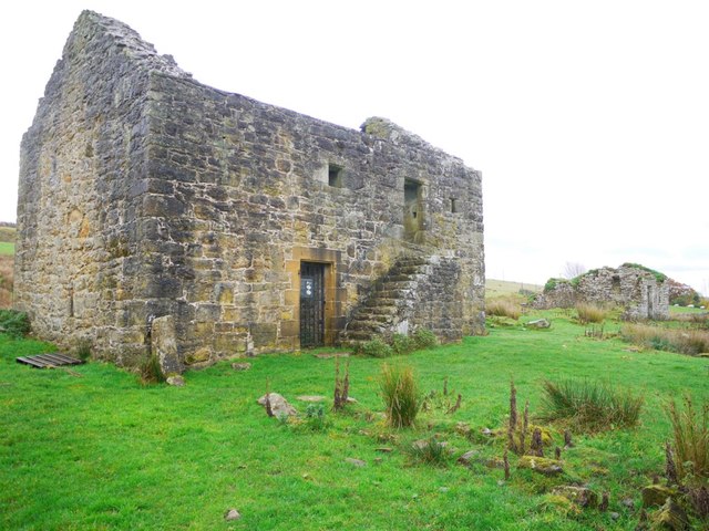 Enclosure in KillarechurchEnclosure · 615 yd
 Stremmingstown CastleCastle · 1066 yd
 Lunestown Houseoutbuilding · 1137 yd
 Killare ChurchChurch · 1377 yd
 Hill of UisneachMountain / peak · 1672 yd
 European ashEuropean ash · 1686 yd
 Bawn in KillarecastleBawn · 1.0 mi
 Sam's ParkForest · 1.9 mi
 KnockastiaMountain / peak · 3.7 mi
 Abbeyshrule AbbeyRuins · 8.1 mi
 Guest ServicesVisitor information · 8.1 mi