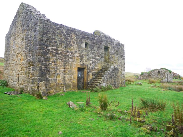
What is recorded here
No surface remains of any antiquity at this location and no monument is marked here on any edition of the OS 6-inch map. Outline of circular-shaped enclosure clearly visible on oblique aerial photographs (CUCAP AOY076/077) taken 12/07/1966.
Compiled by Alison McQueen, Vera Rahilly and Caimin O’Brien.
Date of upload: 13 August 2019
A local fairy fort (ringfort/rath); wider significance not recorded.
The monument record does not grant public access. Check the route and ask the landowner before entering private land.
- What survives
- Recorded monument
Places near here
 OutlinedFairy fort / ringfort · 283 yd
 Killare ChurchChurch · 795 yd
 Tobernaslath (Finnleascach)Holy well · 923 yd
 bridgebridge · 1042 yd
 European ashEuropean ash · 1096 yd
 Bawn in KillarecastleBawn · 1218 yd
 Hill of UisneachMountain / peak · 1294 yd
 Stremmingstown CastleCastle · 1631 yd
 Sam's ParkForest · 2.0 mi
 KnockastiaMountain / peak · 3.8 mi
 Abbeyshrule AbbeyRuins · 7.8 mi
 Guest ServicesVisitor information · 7.8 mi
Other information
Photo: Credit not shown in the picture search · Rights wording not checked; contact us if this picture should be removed