What is recorded here
The Cat Stone is recorded as an archaeological place in County Westmeath.
From OpenStreetMap (© OpenStreetMap contributors) n1781362634
Places near here
Photo credits
- Abi Skipp, Wikimedia Commons · CC BY 2.0
- National Inventory of Architectural Heritage
- Willow, Wikimedia Commons · CC BY 2.5
- Bridget Neville, Wikimedia Commons · CC BY-SA 4.0
- Wayne77, Wikimedia Commons · CC BY-SA 3.0
- Mike Searle, Geograph · CC BY-SA 2.0
- Jamesco101, Wikimedia Commons · CC BY-SA 4.0
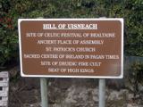 Hill of UisneachMountain / peak · 431 yd
 Lunestown HouseDemesne walls/gates/railings · 868 yd
 bridge1102 yd
 European ash1260 yd
 Brides WellHoly well · 1261 yd
 Togherstown HouseGates/railings/walls · 1712 yd
 Glenown HouseHouse · 1.0 mi
 gates/railings/walls1.1 mi
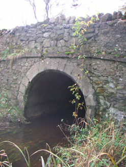 Corr BridgeBridge · 1.5 mi
 Japanese pagoda tree4.2 mi
 Laragh CastleCastle · 4.7 mi
 Abbeyshrule AbbeyRuins · 7.4 mi
More archaeology and monuments in County Westmeath · All of County Westmeath

What do you know about this place?Tap to add a comment or ask a question