What is recorded here
Killeenbrack Castle stands as a tall rectangular tower house in Westmeath pasture, surviving from the era when Arthur Nangle held the land. Its limestone walls still guard a narrow lobby, circular stair turret and broken windows that once watched the surrounding bawn. The later southern wing has mostly vanished, leaving only corner fragments and a circular flanker to mark the size of the lost courtyard.
‘Killeenbrack Castle’ situated in pasture. A tower house type castle is depicted standing in 'Killinbracke' on the 1654-7 Down Survey map of Killare parish (NLI, MS 723-4). On this map the castle is shown standing on lands belonging to Arthur Nangle who is listed as an 'Irish papist' (Ibid.). The terrier of this parish map stated that in 'Clare, Dooneild, Rathskeagh, Killinbrack, Bishopsland Ballikenny on each of them stands a Castle' (ibid.).
Castle described in 1978 as a well preserved tall rectangular-shaped tower house (ext. dims. 11m E-W x 7m N-S) which was extended to the S in the 17th century, standing in S corner of large rectangular shaped bawn (WM024-111001-). Most of the windows in castle are broken out and the majority of the lower quoin stones have been robbed out. The walls of the castle are built with limestone rubble with a slight base batter visible. The castle is entered via a doorway located at the N end of the E wall which leads into a lobby area with small stone roofed room (dims. 2m x 1m; H 2m) inside the doorway, in the NE corner which is probably a guardroom. A circular turret containing a destroyed stairway is located in the SE corner and gives access to the upper floors. The ground floor was lit by a single light window in centre of N, S and W walls. Evidence of gun-loops on either side of window in centre of N and W walls. All the timber floors were carried on a wall-plate supported on corbels which are visible on the upper floors of the castle. There are fireplaces at different levels in the N wall which are served by a diamond-shaped double chimney stack rising above the roofline of the castle. The castle was extended to the S in the 17th century by the addition of a second building (12m N-S x 11m E-W) defined by high walls to S of tower house. A range of single storey buildings also extend E from the tower house, the dating of which is uncertain.
Castle described in by Salter (2004, 151) as following; 'Gunloops open off the window embrasures of the lowest level of this four storey tower measuring 10.8m by 8m. The third storey has a fireplace in the north wall and there were mullioned windows in all the upper levels. The east wall has a gable over the outer wallface and contained mural chambers (now very ruined) over the entrance passage and the spiral stair occupied the SE corner. Only the southern corners and the lower parts of the west wall remain of a later two storey south wing 13.2m long by 8.8m wide. The south wall formed part of a surrounding bawn 52m by 42m, the SW corner of which still survives with a circular flanker and the 3m high adjoining walls'.
Compiled by Alison McQueen, Vera Rahilly and Caimin O’Brien.
Date of upload: 21 August 2019
Killeenbrack Castle was a 17th-century tower house, likely built by a local Gaelic or Anglo-Irish landholding family. It is remembered primarily through its depiction on the Down Survey maps, which document the landscape and landownership of Ireland during the Cromwellian era.
The monument record does not grant public access. Check the route and ask the landowner before entering private land.
- What survives
- Recorded monument
Places near here
 Killeenbrack CastleCastle · 1 yd
 Partially hachuredFairy fort / earthen ringfort · 686 yd
 OutlinedEnclosure · 732 yd
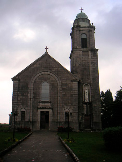 Saint Brigid's Catholic Churchchurch/chapel · 967 yd
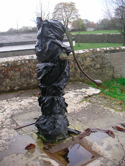 water pumpwater pump · 972 yd
 Sam's ParkForest · 1649 yd
 CastleCastle, unclassified · 1750 yd
 European ashEuropean ash · 1.1 mi
 Hill of UisneachMountain / peak · 1.9 mi
 KnockastiaMountain / peak · 2.6 mi
 Craft WorkshopHeritage attraction · 7.7 mi
 Guest ServicesVisitor information · 7.7 mi