
What is recorded here
Situated on top of a rocky, scrub-covered hill, in rough pasture. Depicted on the 1837 ed. OS 6-inch map as an irregular-shaped enclosure and on the revised 1913 ed. OS 25-inch map as a sub-circular shaped enclosure. Monument described in 1971 as a roughly circular-shaped tree-planted area enclosed by a stone wall. There is no definite trace of an antiquity, although the interior is obscured by impenetrable vegetation at ground level.
Compiled by Alison McQueen, Vera Rahilly and Caimin O’Brien.
Date of upload: 27 August 2019
The monument record does not grant public access. Check the route and ask the landowner before entering private land.
- What survives
- Recorded monument
Places near here
 Killeenbrack CastleCastle · 733 yd
 Partially hachuredEnclosure · 766 yd
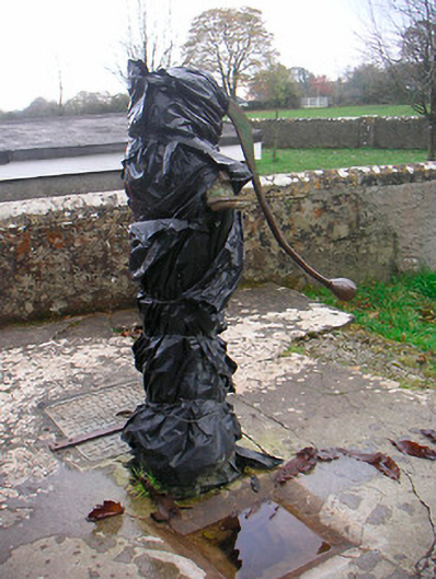 water pumpwater pump · 904 yd
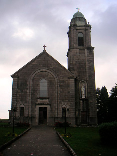 Saint Brigid's Catholic Churchchurch/chapel · 967 yd
 Sam's ParkForest · 1520 yd
 Stremmingstown CastleCastle · 1617 yd
 IndicatedField system · 1648 yd
 European ashEuropean ash · 1.3 mi
 Hill of UisneachMountain / peak · 1.9 mi
 KnockastiaMountain / peak · 2.6 mi
 Dún na Sí Heritage CentreMuseum · 7.7 mi
 Guest ServicesVisitor information · 8.1 mi
Other information
Photo: Credit not shown in the picture search · Rights wording not checked; contact us if this picture should be removed