
What is recorded here
Situated on a hillock, in undulating pasture, overlooking moorland to E. Monument described in 1983 as a roughly circular enclosure defined by a drystone wall that is present from SW-W-N-NE. A field bank running NE-SW joins the two ends of this wall. There is no trace of an external fosse. The interior is obscured by impenetrable vegetation. The surrounding field fences indicated on the 1837 ed. OS 6-inch map and the revised 1913 ed. OS 25-inch map have been removed in comparatively recent times. Not depicted as an antiquity on the 1840 ed. OS 6-inch map.
Compiled by Alison McQueen, Vera Rahilly and Caimin O’Brien.
Date of upload: 27 August 2019
This remains an important historical record, but the official description says the monument is no longer visible or has been destroyed. The monument record does not grant public access. Check the route and ask the landowner before entering private land.
- What survives
- No visible remains or recorded as destroyed
Places near here
 OutlinedEnclosure · 766 yd
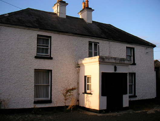 Killaroo Househouse · 852 yd
 Stremmingstown CastleCastle · 879 yd
 Killeenbrack CastleCastle · 1423 yd
 Hut site in Carn (rathconrath By.)Hut site · 1572 yd
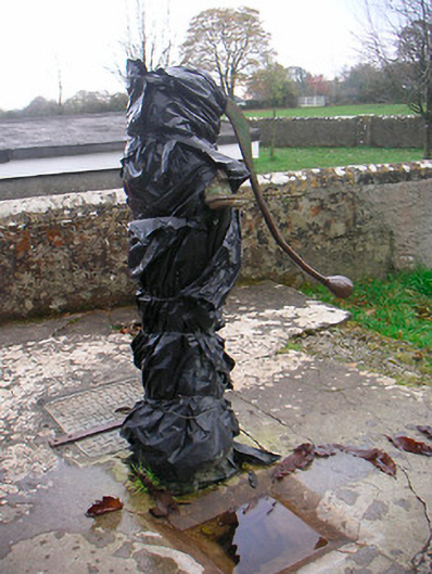 water pumpwater pump · 1591 yd
 Sam's ParkForest · 1.2 mi
 European ashEuropean ash · 1.4 mi
 Hill of UisneachMountain / peak · 1.8 mi
 KnockastiaMountain / peak · 2.9 mi
 The Bob Traynor GalleryGallery · 7.9 mi
 Guest ServicesVisitor information · 8.4 mi
Other information
Photo: Credit not shown in the picture search · Rights wording not checked; contact us if this picture should be removed