What is recorded here
Situated on gently sloping ground, overlooking low-lying, rough pasture to S and SW. Depicted on the 1837 ed. OS 6-inch map as a rectangular structure annotated ‘Castle’ and which appears to adjoin a circular-shaped ringwork (WM024-155001-) to SW. Depicted on the revised 1913 ed. OS 25-inch map as a rectangular ruin on the edge of the inner scarp of an oval-shaped ringwork and annotated ‘Castle (in Ruins)’. Area around castle annotated ‘Sam’s Park’ on OS 25-inch map. Monument described in 1979 as all that remains of the castle are the grass-covered wall footings visible standing inside a ringwork. Wall footings of the castle are visible on the SW bank of the ringwork. There is a low mound against the internal face of the ringwork bank at WSW where a portion of the castle wall footing (approx. H 2m; L 2m) is well preserved. Another low mound with the remains of wall footings are located in the NE area of the ringwork and are assumed to be the ruins of a small building. There is the outline of a subrectangular-shaped structure in the SE quadrant of the ringwork.
Situated on gently sloping ground, overlooking low-lying, rough pasture to S and SW. Depicted on the 1837 ed. OS 6-inch map as a rectangular structure annotated ‘Castle’ and which appears to adjoin a circular-shaped ringwork (WM024-155001-) to SW. Depicted on the revised 1913 ed. OS 25-inch map as a rectangular ruin on the edge of the inner scarp of an oval-shaped ringwork and annotated ‘Castle (in Ruins)’. Area…
From the National Monuments Service (Archaeological Survey of Ireland) record WM024-155
The monument record does not grant public access. Check the route and ask the landowner before entering private land.
- What survives
- Recorded monument
Places near here
Photo credits
- National Inventory of Architectural Heritage
- Wayne77, Wikimedia Commons · CC BY-SA 3.0
- Willow, Wikimedia Commons · CC BY 2.5
- Bridget Neville, Wikimedia Commons · CC BY-SA 4.0
- Mike Searle, Geograph · CC BY-SA 2.0
- Jamesco101, Wikimedia Commons · CC BY-SA 4.0
- dougf, Wikimedia Commons · CC BY-SA 2.0
IndicatedField system · 36 yd Killgarvan HouseHouse · 563 ydpost box640 ydSaint Brigid's Catholic ChurchChurch/chapel · 783 ydwater pump792 ydMosstown HouseOutbuilding · 1151 ydJapanese pagoda tree1.8 miEuropean ash2.1 miBrides WellHoly well · 2.1 miLaragh CastleCastle · 2.3 miAbbeyshrule AbbeyRuins · 8.9 miEsker CastleCastle, tower house · 12 mi
 Killgarvan HouseHouse · 563 yd
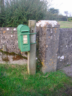 post box640 yd
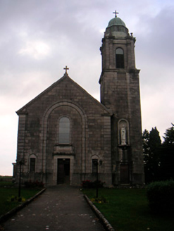 Saint Brigid's Catholic ChurchChurch/chapel · 783 yd
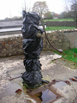 water pump792 yd
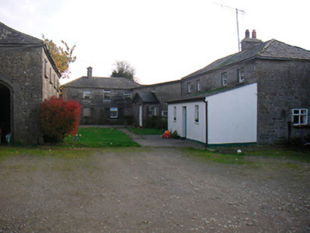 Mosstown HouseOutbuilding · 1151 yd
 Japanese pagoda tree1.8 mi
 European ash2.1 mi
 Brides WellHoly well · 2.1 mi
 Laragh CastleCastle · 2.3 mi
 Abbeyshrule AbbeyRuins · 8.9 mi
 Esker CastleCastle, tower house · 12 mi
More castles and forts in County Westmeath · All of County Westmeath
What do you know about this place?