
What is recorded here
Situated on SW facing slope of rinsing ground, in pasture, with good views to SE, S and W but restricted to N. Ringforts (WM024-095---- / WM024-132----) lie c. 127m to NW and c. 132m to SE, respectively. Monument described as a roughly oval-shaped area (dims. 38.5m E-W; 31.4m N-S) enclosed by an earth and stone bank, an intervening fosse and an outer bank with entrance gap (Wth at top 4.2m; basal Wth 2m) at SE. The bank has been incorporated into a field boundary from NW-N-NE. There is a shallow fosse visible from E-SE and S-SW and a low outer bank visible from S-SW. The interior has a gentle SW-facing slope with three house sites (WM024-097001-/002-/003-) visible. There is a modern gateway at WNW.
Compiled by Alison McQueen, Vera Rahilly and Caimin O’Brien.
Date of upload: 21 August 2019
The monument record does not grant public access. Check the route and ask the landowner before entering private land.
- What survives
- Recorded monument
Places near here
 Killeenbrack CastleCastle · 685 yd
 OutlinedEnclosure · 1409 yd
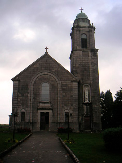 Saint Brigid's Catholic Churchchurch/chapel · 1472 yd
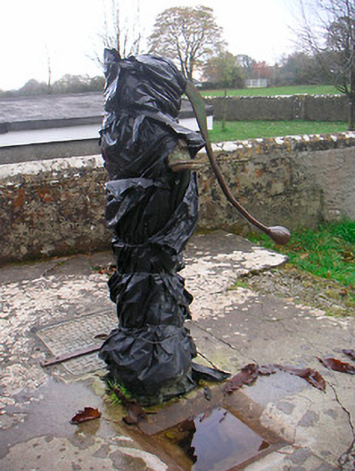 water pumpwater pump · 1511 yd
 European ashEuropean ash · 1686 yd
 Brides WellHoly well · 1691 yd
 IndicatedCastle, unclassified · 1701 yd
 Sam's ParkForest · 1.2 mi
 Hill of UisneachMountain / peak · 1.8 mi
 KnockastiaMountain / peak · 2.7 mi
 Craft WorkshopHeritage attraction · 7.3 mi
 Guest ServicesVisitor information · 7.3 mi
Other information
Photo: Credit not shown in the picture search · Rights wording not checked; contact us if this picture should be removed