What is recorded here
Aodh [Hugh] of Rahugh [Ráith Aodha] reputedly founded a monastery here in the 6th century (Walsh 1957, 288). He is also patron of Killare Church (WM024-057----) and a church (DG090-004001-) at Slieve League, Co. Donegal (Ó Riain 2011, 66). Aodh was son of Cormac Breac of the Cinéal Fiachach of Moycashel, his mother was Eithne of the Múscraighe Tíre in Ormond [North Tipperary] (ibid., 66-7). Aodh was reputedly born in the townland of Killare. His principal feastday was commemorated on the 28th of February, but also celebrated on the 4th of May and 16th of November (ibid., 68). In the 19th century a pattern or station was held at the holy well on 2nd of November (Cogan 1867, 522). According to Rev. Walsh (1957, 288) Saint Aodh [Hugh] was commemorated on the 10th of November. Medieval church ruins situated on a low rise of ground standing in the centre of an oval-shaped graveyard (WM038-041001-) with early Christian graveslab (WM038-039----) known locally as the ‘Headache Stone’ 160m to SW and St. Hugh’s holy well (WM040-004----) 210m to SSE. The oval-shaped graveyard may follow the line of the ecclesiastical enclosure (WM038-041002-) belonging to St. Hugh’s sixth-century monastery (Gwynn and Hadcock 1970, 401). Only a short section of the ivy-covered N and S walls at the E end of the medieval church of Rahugh survives upstanding as depicted on the 1910 ed. OS 25-inch map. Elsewhere the foundations of the church walls are indicated by low grass covered wall footings. A gap in the S wall may represent the remains of a broken out window. Impossible to examine or described upstanding remains as church walls are now covered with ivy. On the 1837 ed. OS 6-inch map the church is depicted as a long rectangular ruin aligned ENE-WSW with two internal walls. These internal walls at the W and E end of the church possibly represent the remains of private family burial areas or mausoleums of post-medieval date which have been inserted and/or built onto the W and E ends of the medieval church. The remains of one of these post-medieval mausoleums built onto the W end of the medieval church as depicted on the OS 25-inch map can still be seen. This structure is also covered in scrub vegetation making examination impossible. The church was described in 1896 as a ‘primitive oblong, about 60 feet [18.2m] long and 20 feet [6.1m] wide’ (Stokes 1896, 331). WM038-041----_01.jpg. View showing upstanding sections of ivy-covered north and south walls of medieval church. Taken from north-east looking south-west. WM038-041----_02.jpg. View showing upstanding sections of ivy-covered north and south walls of medieval church. Taken from west looking east through the centre of the church, the interior of which was used for burials in the post-medieval period.
Aodh [Hugh] of Rahugh [Ráith Aodha] reputedly founded a monastery here in the 6th century (Walsh 1957, 288). He is also patron of Killare Church (WM024-057----) and a church (DG090-004001-) at Slieve League, Co. Donegal (Ó Riain 2011, 66). Aodh was son of Cormac Breac of the Cinéal Fiachach of Moycashel, his mother was Eithne of the Múscraighe Tíre in Ormond [North Tipperary] (ibid., 66-7). Aodh was reputedly…
From the National Monuments Service (Archaeological Survey of Ireland) record WM038-041
The monument record does not grant public access. Check the route and ask the landowner before entering private land.
- What survives
- Recorded monument
Places near here
Photo credits
- Trenchspike, Wikimedia Commons · CC BY-SA 4.0
- National Inventory of Architectural Heritage
- kevin higgins, Wikimedia Commons · CC BY-SA 2.0
- Dalenevada, Wikimedia Commons · CC BY-SA 4.0
- Mike Searle, Geograph · CC BY-SA 2.0
- JP, Geograph · CC BY-SA 2.0
- Willow, Wikimedia Commons · CC BY 2.5
- User:Jgillett, Wikimedia Commons · Public domain
 Lowertown BridgeBridge · 724 yd
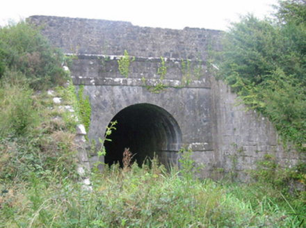 aqueduct943 yd
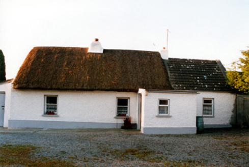 farm house1004 yd
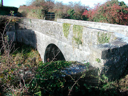 Grange BridgeBridge · 1667 yd
 Saint Hugh's Catholic ChurchChurch/chapel · 1.6 mi
 St. Columbkilles CrossCross, High cross · 3.4 mi
 CrossCross, High cross · 3.5 mi
 Durrow MoatCastle, motte · 3.6 mi
 Grand Canal WayWalking route · 4.2 mi
 European ash4.7 miEuropean ash4.7 mi
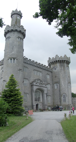 Charleville CastleCastle · 6.4 mi
More historic places in County Westmeath · All of County Westmeath
What do you know about this place?