What is recorded here
On low-lying marshy ground. This natural spring is enclosed by a substantial drystone wall (H 0.5-1m; Wth 0.5m). The entrance is at E. A holy bush (LF023-048002-) is associated. O'Donovan
Date of upload: 7 June 2013
From the National Monuments Service (Archaeological Survey of Ireland) record LF023-048001
The monument record does not grant public access. Check the route and ask the landowner before entering private land.
- What survives
- Recorded monument
Places near here
Kilbally Holy WellSpring · 16 yd Doory HallGates/railings/walls · 601 ydIndicatedFairy fort / earthen ringfort · 825 ydIndicatedFairy fort / earthen ringfort · 868 ydMornin Castle (in Ruins)Castle, tower house · 1281 ydDoory HallOutbuilding · 1531 ydNational Famine WayWalking route · 3.1 miNewcastle WoodsForest · 3.2 miBawn in CastlereaBawn · 3.3 miTarget WoodWood · 3.5 miCorlea Trackway Interpretative CentreHeritage attraction · 3.9 miEuropean Beech4.7 mi
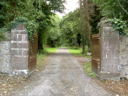 Doory HallGates/railings/walls · 601 ydIndicatedFairy fort / earthen ringfort · 825 ydIndicatedFairy fort / earthen ringfort · 868 ydMornin Castle (in Ruins)Castle, tower house · 1281 yd
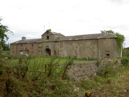 Doory HallOutbuilding · 1531 ydNational Famine WayWalking route · 3.1 miNewcastle WoodsForest · 3.2 mi
 Bawn in CastlereaBawn · 3.3 miTarget WoodWood · 3.5 mi
 Corlea Trackway Interpretative CentreHeritage attraction · 3.9 mi
 European Beech4.7 mi
Pictures: National Inventory of Architectural Heritage; Mike Searle, Geograph · CC BY-SA 2.0; Sheila1988, Wikimedia Commons · CC BY-SA 4.0; Malene Thyssen, Wikimedia Commons · CC BY-SA 3.0
More archaeology and monuments in County Longford · All of County Longford
What do you know about this place?