What is recorded here
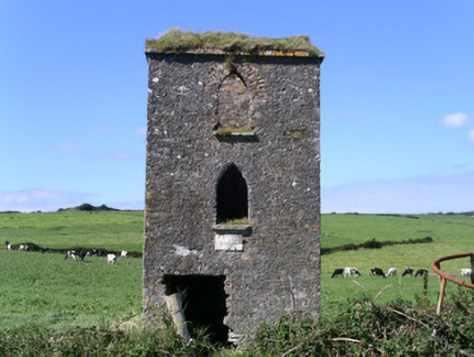
Detached one-bay three-stage rendered tower, built c. 1840. Square plan. Roof missing. Unpainted roughcast walling, brick eaves course. Pointed-arch window openings (some built-up), stone sills, windows missing. Square-headed door opening, door missing. Set in field.
The original function of this little tower is unclear. Its size, shape and location suggest a possible military or coastguard use. It has quite good stonework and forms a striking feature in the coastal landscape.
From the Buildings of Ireland (National Inventory of Architectural Heritage) record 32400702
This does not grant access. Most recorded buildings are privately owned; view them only from public ground unless the owner allows entry.
Places near here
IndicatedBastioned fort · 352 ydLissgallonFairy fort / stone ringfort · 482 yd Lissadell HouseFarmyard complex · 992 ydLissadell HouseWalled garden · 1255 ydCastle (Site of)Castle, unclassified · 1604 ydChurch Hill WoodWood · 1.1 miForester's WoodForest · 1.3 miBawn in ArdtermonBawn · 1.4 miArdtermon StrandBeach / strand · 1.4 miDrumcliff BayBay · 1.5 miRosses Point BeachBeach / strand · 2.1 miCoastguard StationRuins · 2.2 mi
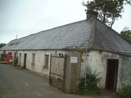 Lissadell HouseFarmyard complex · 992 yd
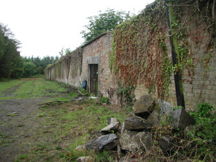 Lissadell HouseWalled garden · 1255 ydCastle (Site of)Castle, unclassified · 1604 ydChurch Hill WoodWood · 1.1 miForester's WoodForest · 1.3 mi
 Bawn in ArdtermonBawn · 1.4 mi
 Ardtermon StrandBeach / strand · 1.4 miDrumcliff BayBay · 1.5 mi
 Rosses Point BeachBeach / strand · 2.1 miCoastguard StationRuins · 2.2 mi
Pictures: National Inventory of Architectural Heritage; Kenneth Allen, Geograph · CC BY-SA 2.0; Bob Embleton, Geograph · CC BY-SA 2.0
More historic places in County Sligo · All of County Sligo
What do you know about this place?