What is recorded here
In pasture, on the N side of Drumcliffe Bay, located on dry, elevated ground with a S-facing slope. The slope ends at a rocky cliff dropping to the seashore. The location provides excellent views over Drumcliff Bay in the foreground, and of the mouth of Sligo Bay further to S. This possible bastioned fort is not shown on 1837 OS 6-inch map but is indicated on the 1913 edition as a rectilinear enclosure. It was levelled during land reclamation in the early 1970’s, and its outline is now best seen as a cropmark in aerial views (See 'Digital Globe' in Basemap gallery). The cropmark shows a trapezoidal area (c. 38m N–S; c. 40m E-W at N, c. 50m E-W at S) defined on the W, N and E sides by a levelled bank with projections (max. dim. 6-7m) at the NE and NW corners. Outside the bank is an infilled fosse (Wth c. 3-3.5m). There is a hint of a break or possible entrance in the middle of the N side. At ground level, the outline of the enclosure is barely discernible. The interior slopes to S, mirroring the natural fall of ground, and the corner projections are located at the highest point of the slope providing good views along the coast and out to sea. No enclosing element is apparent on the S side where the enclosure is bordered by an eroding cliff face (H 5-6m) which drops to a rocky shoreline and a cobble and sand beach. According to local information, this enclosure was intact in the late 1960’s when it was defined by an substantial earthen bank on the W, N and E sides, with raised rounded projections at the NE and NW corners, and a deep external fosse, all largely engulfed in overgrowth (pers. comm. 2016: Leo Leyden, Maugherow, Co. Sligo). In 2016 magnetic gradiometer and earth resistance surveys (Licence no. 16R0006) were carried out (Siggins 2016). Magnetic anomalies detected in the interior of the fort were interpreted as pits/postholes, with linear features possibly indicating buildings. High earth resistance readings in the centre may indicate a demolished stone building. The data provides tentative evidence for timber and stone buildings erected to accommodate troops and artillery at the fort (Siggins 2016, 12).
In pasture, on the N side of Drumcliffe Bay, located on dry, elevated ground with a S-facing slope. The slope ends at a rocky cliff dropping to the seashore. The location provides excellent views over Drumcliff Bay in the foreground, and of the mouth of Sligo Bay further to S. This possible bastioned fort is not shown on 1837 OS 6-inch map but is indicated on the 1913 edition as a rectilinear enclosure. It was…
From the National Monuments Service (Archaeological Survey of Ireland) record SL007-052
The monument record does not grant public access. Check the route and ask the landowner before entering private land.
- What survives
- Recorded monument
Places near here
Druid's AltarArchaeological place · 263 yd John's PortBuilding misc · 352 ydLissgallonFairy fort / stone ringfort · 580 ydLissadell HouseFarmyard complex · 1294 ydCastle (Site of)Castle, unclassified · 1.1 miBawn in ArdtermonBawn · 1.2 miArdtermon StrandBeach / strand · 1.3 miChurch Hill WoodWood · 1.3 miDrumcliff BayBay · 1.5 miForester's WoodForest · 1.5 miCoastguard StationRuins · 2.1 miRosses Point BeachBeach / strand · 2.1 mi
 John's PortBuilding misc · 352 ydLissgallonFairy fort / stone ringfort · 580 yd
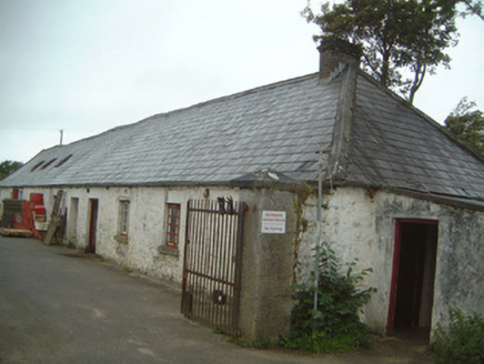 Lissadell HouseFarmyard complex · 1294 ydCastle (Site of)Castle, unclassified · 1.1 mi
 Bawn in ArdtermonBawn · 1.2 mi
 Ardtermon StrandBeach / strand · 1.3 miChurch Hill WoodWood · 1.3 miDrumcliff BayBay · 1.5 miForester's WoodForest · 1.5 miCoastguard StationRuins · 2.1 mi
 Rosses Point BeachBeach / strand · 2.1 mi
Pictures: National Inventory of Architectural Heritage; Kenneth Allen, Geograph · CC BY-SA 2.0; Bob Embleton, Geograph · CC BY-SA 2.0
More archaeology and monuments in County Sligo · All of County Sligo
What do you know about this place?