A stone bridge (
LI014-014008-) built in 1621 is shown traversing the Mulkear River to the S of Abbey Owney (
LI014-014002-) on the 1656 Down Survey map of the barony of Owneybeg (NLI, MS 718). The Down Survey map of Owneybeg barony depicted the medieval settlement (
LI014-014001-) of Abbeyowney standing either side of the Mulkear River in close proximity to the ruins of Owneybeg Abbey and the medieval corn mill (
LI014-014007-) (ibid.). In 1681 Thomas Dineley visited the Abbey and made a drawing of the abbey ruins which he showed standing beside a six-arch bridge around which there were a cluster of dwellings representing the medieval settlement of Abbey Owney (Shirley et. al. 1865, 278). The present road bridge over the Mulkear River stands 170m SSE of the Cistercian abbey (LI014-014001-) and was described by the National Inventory of Architectural Heritage as a 'Six-arch limestone road bridge over the River Mulkear, built c. 1740, with earlier fabric. Rubble limestone and sandstone walls with limestone cappings and inscribed limestone plaque to west parapet wall. Roughly dressed limestone voussoirs to round-headed arches. Rubble limestone V-cutwaters to east elevation' (wwww.buildingsoireland.ie). The inscribed plaque visible in the W parapet wall of the bridge is a 17th-century memorial plaque commemorating the death of Sir Edmund Walsh in 1618. The inscription was recorded by Dineley in 1681 as follows; 'The Armes of Sr. Edmund Walsh als Grace Knight and his wife Ellyce Walsh als Grace who erected this Bridge after the death of hir husband for Devotione and Charitie praying passengers to praye for the rest of their Soules in Heaven' (Shirley et. al. 1865, 277). This plaque was signed by its maker 'Patricius Kearing' and dated 1621. Loeber suggested that the cut limestone often referred to as marble for the memorials in Abington graveyard came from quarries in the barony of Clanwilliam (Loeber 1981, 278). The marble quarry (
LI023-339----) of Caherline and Ballyhobin mentioned in the Civil Survey of 1654-56 may have supplied the stone for these memorials (Simington 1938, 74). It has been suggested that the stone plaque is not in its original location and that it was removed from the 17th century bridge located further upstream and inserted into the current bridge in the 18th century. In 1865 it was first suggested that 'the ancient bridge probably stood higher up, but below the weir; the inscribed stone was removed from that bridge, on the top of the parapet of which it seems to have been raised to its present position, built into the parapet of the present bridge, which I think has but five arches' (Shirley 1865 278). The inscription on the plaque is now illegible as it was in 1866 when it was recorded that 'there was an inscription now almost totally defaced, on the bridge of Abington; it is supposed to have referred to the building or repairs of it by the Walsh family' (Lenihan 1866, 719). The plaque was described by Simington and O'Keeffe (1991, 200) as following 'There is a plaque set in the parapet. It is about 2ft 6in. [0.76m] long by 2ft [0.6m] high and the letters are almost illegible. It does not belong to this bridge but to an earlier one which previously spanned the river about a quarter of a mile downstream. The letters are in bas relief and about 1.5 in. [0.06m] high. It reads: "The arms of Sir Edward Walsh and his wife Ellyce Walsh, also Grace Knight who erected this bridge after the death of her husband for devotione and Charitie prayinge passangers to praye for the rest of their Soules in Heaven AD 1621." The plaque came from the six-arch bridge which spanned the river at the former Cistercian abbey of Abington'. Simington and O'Keeffe (1991, 200-01) stated that 'The most interesting feature of Dineley's sketch of the bridge is the raised battlement on the centre pier on the upriver parapet. It appears to be perforated. It resembles the high section of parapet on Gormanstown Bridge previously described and could have been a raised battlement. The most likely explanation is that it was the plaque housed in a niche'. In 1890 Barry (1890, 50) recorded the existence of these battlements on the bridge when he recorded that a 'slab, containing the arms of Walsh, and the following inscription, is inserted in the battlements of the bridge : "The Arms of Sir Edmund Walsh and his wife, Ellice Grace, who erected this bridge, after the death of her husband, for devotione and charitie, praying passengers to pray for the rest of their soules in Heaven, a.d. 1621". This bridge has six arches ; it was widened by adding to the south side about 120 years ago.'
In 1907 Rev. Seymour recorded the following details about the plaque; 'next stone of interest is the one on the bridge (LI014-014008-). This, in Dyneley's time, stood on the parapet; but when the bridge was widened, it was inserted in the wall. It is almost illegible owing to exposure to the weather. It bears the following inscription (taken from Dyneley), the only one in old English characters, on the left of which are the Walsh and Grace arms impaled: The armes of Sr Edmund Walsh knight and hys wife Ellyce Walsh als Grace who erected this Bridge after the Death of hir husband for Devotione and Charitie prayinge passengers to pray for the rest of their Soules in Heaven. 1621 Patricius Kearin me fabricavit' (Seymour 1907, 364). Patrick O'Kerin was the son of Walter O'Kerin who belonged to O'Kerin school of monumental sculpture in the Ossory region in late 16th and early 17th century (Phelan 1996, 167). The W half of the present bridge appears to date from the 17th century and is probably contemporaneous with the plaque now located midway along the W parapet wall of Abington Bridge. The bridge was widened in the 18th century and possibly the plaque was taken out of its original structure above the parapet wall and then inserted into the base of the present parapet wall.

 bridge3 yd
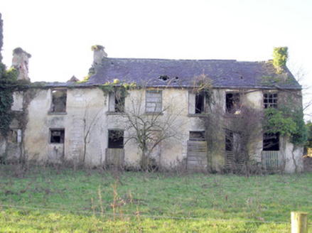 Abington HouseCountry house · 102 yd
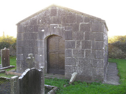 mausoleum164 yd
 Abington CemeteryCemetery · 184 yd
 TombTomb, chest tomb · 197 yd
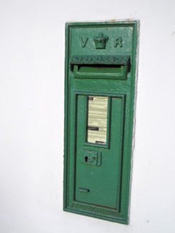 post box355 yd
 Millbank LodgeHouse · 659 yd
 Saint John's Church (Abington)Church/chapel · 710 yd
 Elm GroveHouse · 910 yd
 CastleCastle, unclassified · 987 yd
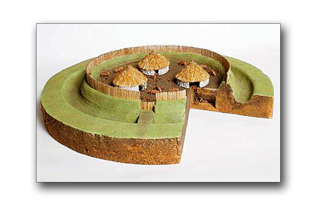 Fairy fort / earthen ringfort in RathFairy fort / earthen ringfort · 1409 yd
 Rath Castle (in Ruins)Castle, unclassified · 1599 yd

What do you know about this place?Tap to add a comment or ask a question