What is recorded here
No fairy fort in Rath. That is a misreading. The facts name a ringfort, a human dwelling with a scarped edge, external fosse and corn drying kiln. The fairies belong to legend, not the evidence.
Situated on a gentle SW-facing slope in poorly drained undulating pasture with good views in all directions. The monument consists of a roughly circular area (17.7m E-W; 17m N-S) defined by a scarped edge (Wth 2m; H 0.6m), with an external fosse (Wth 4.6m) evident from W to E and from ESE to S. There are traces of an external bank (int. H 0.3m; Wth 2m; ext. H 0.1m) in the ESE and SE. There is a corn drying kiln built into the scarp in the W. The site is located within a potential deserted settlement.
Compiled by: Denis Power
Date of upload: 2 July 2013
The monument record does not grant public access. Check the route and ask the landowner before entering private land.
- What survives
- Recorded monument
Places near here
 KilnKiln, corn-drying · 10 yd
 Field system in RathField system · 32 yd
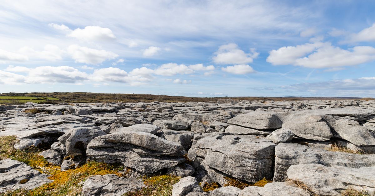 BarrowBarrow, unclassified · 140 yd
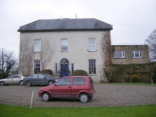 Abington Rectoryrectory/glebe/vicarage/curate's house · 644 yd
 Bawn in RathBawn · 787 yd
 CastleCastle, unclassified · 1436 yd
 Graveyard in AbingtonGraveyard · 1469 yd
 Sliev Felim WayVisitor information · 1.4 mi
 Slieve Felim WayWalking route · 3.9 mi
 Slieve FelimMountain / peak · 4.9 mi
 KnockseefinMountain / peak · 5.0 mi
 ToberagaddySpring · 5.5 mi