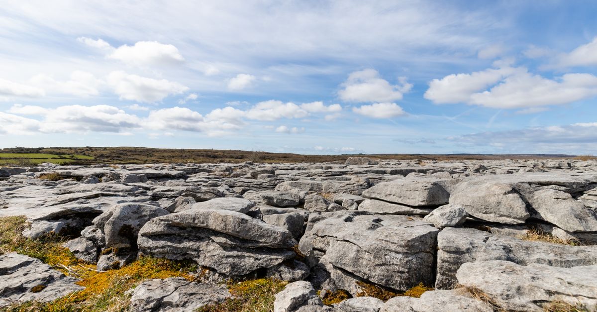
What is recorded here
In grassland, ringfort (LI015-013----) 120m to NW. Cropmark of circular-shaped area (approx. diam. 12m) defined by a ditch visible on OSi orthoimage taken 2005-12.
Compiled by: Caimin O’Brien
Date of upload: 23 November 2020
A local ancient tomb; wider significance not recorded.
The monument record does not grant public access. Check the route and ask the landowner before entering private land.
- What survives
- Recorded monument
Places near here
 Field system in RathField system · 140 yd
 KilnKiln, corn-drying · 146 yd
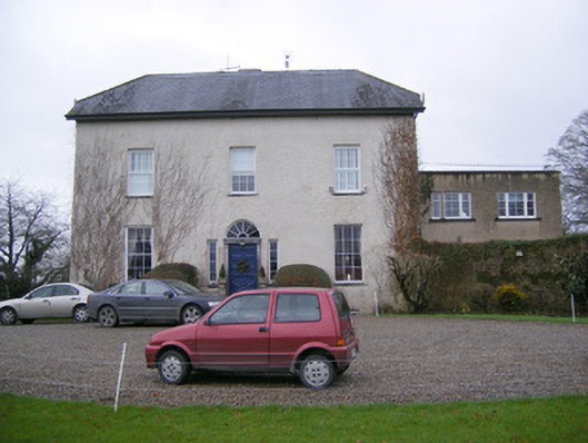 Abington Rectoryrectory/glebe/vicarage/curate's house · 662 yd
 Bawn in RathBawn · 757 yd
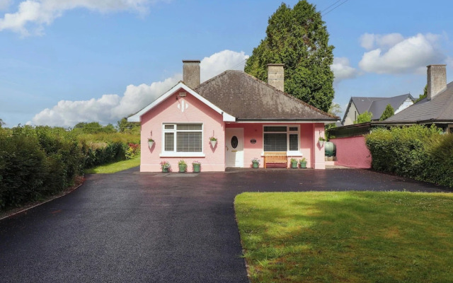 Kylenanny Bur.l GroundChildren's burial ground · 963 yd
 CastleCastle, unclassified · 1570 yd
 Graveyard in AbingtonGraveyard · 1603 yd
 Sliev Felim WayVisitor information · 1.5 mi
 Slieve Felim WayWalking route · 3.9 mi
 Slieve FelimMountain / peak · 4.9 mi
 KnockseefinMountain / peak · 4.9 mi
 ToberagaddySpring · 5.4 mi
Other information
Photo: Credit not shown in the picture search · Rights wording not checked; contact us if this picture should be removed