
What is recorded here
Situated in the SW edge of ringfort (LI015-013----), on a gentle SW-facing slope in poorly-drained, undulating pasture with good views in all directions. The basal remains of a keyhole shaped kiln (L 4.05m E-W) with a flue (2.35m E-W; 0.95m N-S) to W and a bowl (1.7m E-W; 1.65m N-S) to E. It is constructed of limestone blocks of various sizes and lengths with longer stones used in the flue's construction.
See attached photographs and sketch plan of feature identified and recorded by Elizabeth Connolly.
Compiled by: Denis Power
Revised by: Caimin O'Brien
Date of revised upload: 1 June 2021
The monument record does not grant public access. Check the route and ask the landowner before entering private land.
- What survives
- Recorded monument
Places near here
 Field system in RathField system · 25 yd
 BarrowBarrow, unclassified · 146 yd
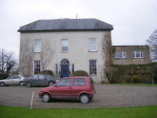 Abington Rectoryrectory/glebe/vicarage/curate's house · 652 yd
 Bawn in RathBawn · 782 yd
 Millbank Lodgehouse · 1141 yd
 CastleCastle, unclassified · 1428 yd
 Graveyard in AbingtonGraveyard · 1460 yd
 Sliev Felim WayVisitor information · 1.4 mi
 Slieve Felim WayWalking route · 3.9 mi
 Slieve FelimMountain / peak · 4.9 mi
 KnockseefinMountain / peak · 5.0 mi
 ToberagaddySpring · 5.5 mi
Other information
Photo: Credit not shown in the picture search · Rights wording not checked; contact us if this picture should be removed