What is recorded here
In the level SE quadrant of an oval enclosure/possible cashel (DG017-031001-)
Rectangular structure (c. 15m N–S; c. 12m E–W) defined by a stone bank/wall, reduced now to a low grass- and bramble-covered rise (Wth 1.2-1.4m; H 0.3-0.4m). On the E side, the wall appears more substantial, with a higher external scarp (Wth c. 2m; ext. H 1m) coinciding with a natural break of slope on the E perimeter of the larger oval enclosure. There is a low area/rough gap in the middle of the W wall, a low area or break in the N wall, and rough breaks at the SW and SE corners of the structure. There are two low, vegetation-covered stony mounds (2-2.5m across), possibly field clearance heaps, in the interior.
This enclosure is not shown on any edition of the OS 6-inch maps. Its outline is most clearly seen in aerial view. It is difficult to trace at ground level, and difficult to interpretation and date. It is probably, but not necessarily, contemporary with the outer oval enclosure. It is probably, but not necessarily, contemporary with the outer oval enclosure (MA017-031001-). It may have been an animal pen, but it is not impossible that it is the ruins of a building/house.
Notified to National Monuments Service by Martin Cauley.
Attached image:
DG017-031002-_01.JPG Rectangular enclosure viewed from S
DG017-031002-_02.JPG Rectangular enclosure viewed from E
Compiled by: Jane O’Shaughnessy
Date of upload: 20 June 2023
A local fairy fort (ringfort/rath); wider significance not recorded.
The monument record does not grant public access. Check the route and ask the landowner before entering private land.
- What survives
- Recorded monument
Places near here
 Croaghan Island Stone RingfortFairy fort / stone ringfort · 1 yd
 St. Columba’s Roman Catholic Churchchurch/chapel · 1082 yd
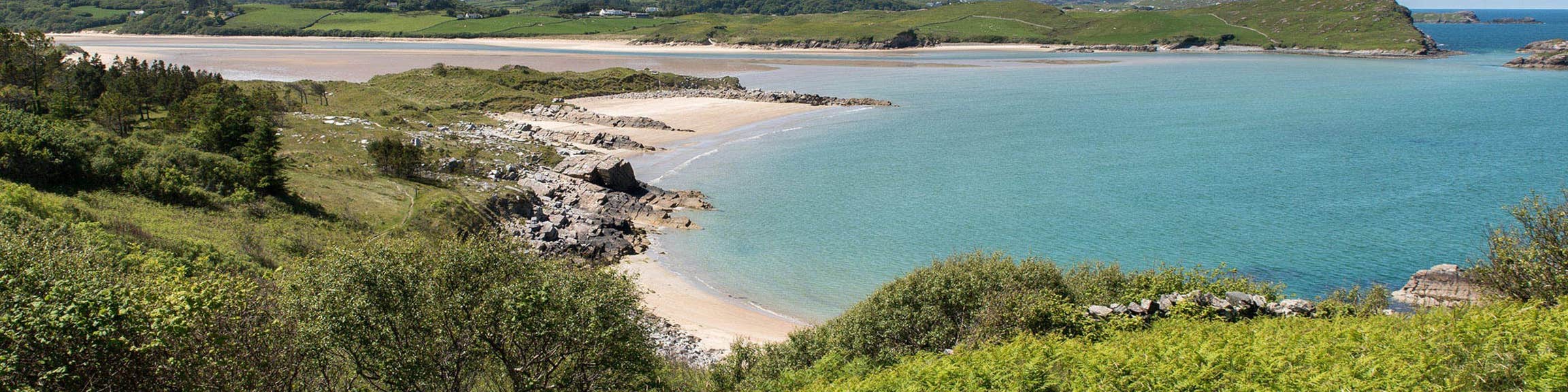 Croaghan Fairy FortFairy fort / earthen ringfort · 1164 yd
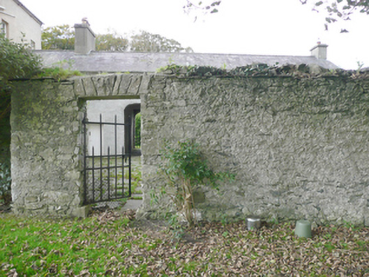 walled gardenwalled garden · 1272 yd
 Moross CastleCastle, tower house · 1.2 mi
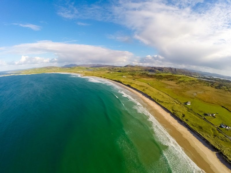 Ballyhiernan, FanadOfficial bathing water · 2.6 mi
 HazelHazel · 3.4 mi
 Old CastleCastle, unclassified · 3.6 mi
 Wych ElmWych Elm · 3.8 mi
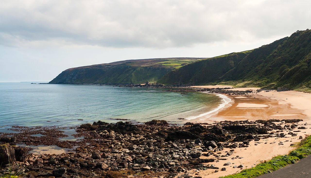 Drumnacraig BeachBeach / strand · 4.0 mi
 PortsalonOfficial bathing water · 4.1 mi
 Cnoc na SleáMountain / peak · 4.2 mi