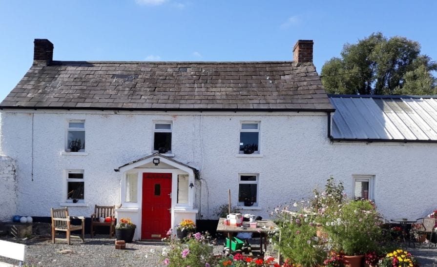
What is recorded here
Located near the NE angle of Tullallen Lough, a small C-shaped lake (dims c. 300m N-S; c. 225m E-W) that is open to the E, c. 45m from the N shore and c. 75m from the NE shore. It is depicted as an island only on the 1907 edition of the OS 6-inch map. It is an overgrown feature that was impossible to access.
The above description is derived from the published 'Archaeological Inventory of County Monaghan' (Dublin: Stationery Office, 1986). In certain instances the entries have been revised and updated in the light of recent research.
Date of revision: 17 June 2017
The monument record does not grant public access. Check the route and ask the landowner before entering private land.
- What survives
- Recorded monument
Places near here
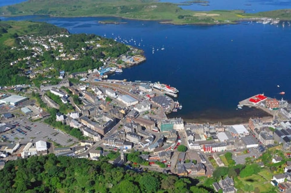 Campbells fortFairy fort / earthen ringfort · 848 yd
 Man-made underground passage in Killark (farney By.)Man-made underground passage · 1605 yd
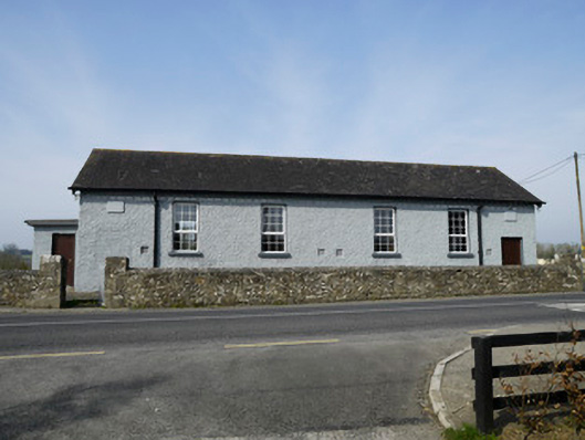 Carrickashedoge National Schoolschool · 1742 yd
 lime kilnlime kiln · 1746 yd
 Flat cemetery in AnnaheanFlat cemetery · 1.9 mi
 Monkey-puzzleMonkey-puzzle · 2.4 mi
 European BeechEuropean Beech · 2.6 mi
 BarleyhillMountain / peak · 3.4 mi
 Natural Play AreaMemorial · 4.3 mi
 Castle ruinsCastle, unclassified · 4.4 mi
 CabraMountain / peak · 4.5 mi
 Mannan Castle (in ruins)Castle, Anglo-Norman masonry castle · 4.9 mi
Other information
Photo: Credit not shown in the picture search · Rights wording not checked; contact us if this picture should be removed