
What is recorded here
In ungrazed and overgrown margin of improved pasture, within SW angle of confluence of the Multeen river to N the River Suir to E. Segmental area (dims. 17m E-W; 8m N-S) defined by scarp E-W obscured by dense overgrowth and steep scarp (Wth 4m; H 1.4m) on straight side to N. Interior level and has mature beech within. Fisherman's pathway around exterior of monument, on river bank to N and E.
Compiled by: Jean Farrelly
Date of upload: 26 August 2011
The monument record does not grant public access. Check the route and ask the landowner before entering private land.
- What survives
- Recorded monument
Places near here
 Cliff-edge fort in Mantlehill GreatCliff-edge fort · 146 yd
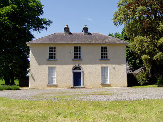 Springmount Househouse · 178 yd
 Enclosure in GoldenhillsEnclosure · 634 yd
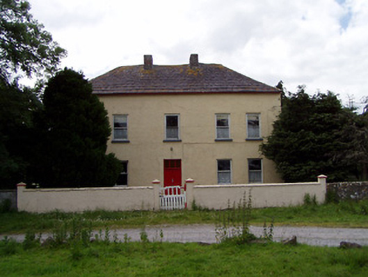 Golden Hillsfarmyard complex · 819 yd
 CastleHouse, fortified house · 935 yd
 Bawn in CastleparkBawn · 1182 yd
 Athassel PrioryHeritage attraction · 2.0 mi
 Hore AbbeyHeritage attraction · 3.9 mi
 Dundrum Woods (Marl Bog)Forest · 4.4 mi
 Maudemount BogWood · 4.9 mi
 The Maid of ErinMemorial · 7.7 mi
 The RockViewpoint · 8.5 mi
Other information
Photo: Credit not shown in the picture search · Rights wording not checked; contact us if this picture should be removed