What is recorded here
From the National Monuments Service (Archaeological Survey of Ireland) record CO032-039
Places near here
Photo credits
- National Inventory of Architectural Heritage
- Cantoo, Geograph · CC BY-SA 2.0
- Mike Searle, Wikimedia Commons · CC BY-SA 2.0
- Mike Searle, Geograph · Creative Commons Attribution-ShareAlike 2.0
- kevin higgins, Wikimedia Commons · CC BY-SA 2.0
- Sitomon, Wikimedia Commons · CC BY-SA 2.0
- Jonathan Thacker, Geograph · CC BY-SA 2.0
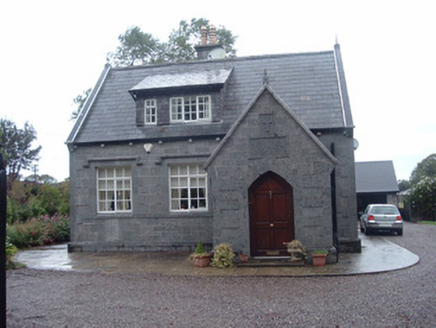 Longueville SchoolSchool · 1154 yd
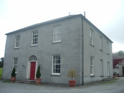 Blossomfort HouseHouse · 1200 yd
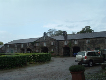 Longueville HouseLongueville HouseFarmyard complex · 1486 yd
 CastleBawn · 1.3 mi
Explorer Tom Castle is just a bawn now, thirty meters square, with no clear purpose beyond holding walls together. What’s inside?
 Dromaneen CastleHeritage attraction · 1.6 mi
.jpg/250px-Castles_of_Munster,_Lohort,_Cork_(geograph_1393402,_high-res).jpg "Photo: Mike Searle, Wikimedia Commons · CC BY-SA 2.0") Lohort CastleCastle, tower house · 2.0 mi
Lohort CastleCastle, tower house · 2.0 miExplorer Tom Lohort Castle in Castlelohort Demesne, County Cork was burnt down in 1922 but now it’s a private residence with a stepped gable. It’s five storeys high and looks very pleased with itself. Knock on the door if you want to see if anyone is home!
 Graveyard2.4 mi
Explorer Tom Graveyard in Newberry has a 17th-century inscription on an altar-tomb that definitely wasn't supposed to be there. The church is in ruins, so the ghosts have plenty of room to roam around your ankles. Snap one for me if you see it!
 Graveyard in Ballygiblin (duhallow By.)Graveyard · 3.0 miIn loving memory of Elvis O'DonoghueMemorial · 3.7 mi
 St Abigails WellHoly well · 3.9 mi
 European Yew4.5 mi
 Mount HillaryMountain / peak · 5.1 mi
More historic places in County Cork · All of County Cork
What do you know about this place?Tap to add a comment or ask a question