What is recorded here
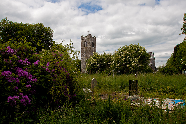
On W side of laneway. Rectangular graveyard (c. 60m E-W; c. 80m N-S), S end (L c. 30m) added post 1842 OS 6-inch map; enclosed by stone wall. Site of medieval parish church of Kilshannig noted in charter of 1242 (MacCotter and Nicholls 1996, 65); church here reported in ruins in 1615 (Brady 1863, vol. 2, 286). At centre former C of I parish church of Kilshannig (14721). In occasional use; area of marked burials mainly SE of church; earliest headstones date from late 18th century but Fitzgerald (1917-20a) notes 17th-century inscription on altar-tomb near S wall of church, another 'box-tomb' with early 18th-century date and headstone with date of 1717. Built into W wall of graveyard is 16th-century graveslab (CO032-107004-), said to have come from Mourne Abbey (see 9550) but has been here since at least 1860 (Brady ibid., 290); design consists of seven-armed ringed cross with fleur-de-lis terminals; shaft, banded at base of cross-head, flanked by two plain square raised panels, probably intended for heraldic shields; below this, leafy frond springs from sinister side of cross shaft; raised border occurs along three surviving edges of slab (see Maher 1994).
On W side of laneway. Rectangular graveyard (c. 60m E-W; c. 80m N-S), S end (L c. 30m) added post 1842 OS 6-inch map; enclosed by stone wall. Site of medieval parish church of Kilshannig noted in charter of 1242 (MacCotter and Nicholls 1996, 65); church here reported in ruins in 1615 (Brady 1863, vol. 2, 286). At centre former C of I parish church of Kilshannig (14721). In occasional use; area of marked burials…
From the National Monuments Service (Archaeological Survey of Ireland) record CO032-107002
The monument record does not grant public access. Check the route and ask the landowner before entering private land.
- What survives
- Recorded monument
Places near here
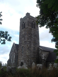 Saint Senach's Church (Kilshannig)Church/chapel · 33 yd
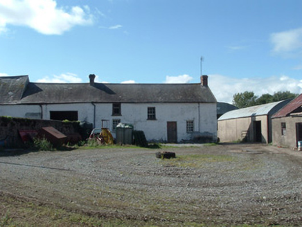 Newberry HouseBridge · 65 yd
 Dromaneen CastleHeritage attraction · 1.0 mi
 Mallow Castle RuinRuins · 3.0 mi
 St Abigails WellHoly well · 3.3 mi
 CastleBawn · 3.5 mi
 LisheentoortaghFairy fort / earthen ringfort · 4.2 mi
 Mount Hillary - Father Murphy LoopWalking route · 6.4 mi
 European Yew6.6 miEuropean Yew6.6 mi
 Eagle's NestMountain / peak · 7.3 mi
 Kanturk CastleHeritage attraction · 8.8 mi
Pictures: National Inventory of Architectural Heritage; Mike Searle, Wikimedia Commons · CC BY-SA 2.0; Tim Sheerman-Chase, Wikimedia Commons · CC BY 2.0; kevin higgins, Wikimedia Commons · CC BY-SA 2.0; Cantoo, Geograph · CC BY-SA 2.0; Jonathan Thacker, Geograph · CC BY-SA 2.0; Sitomon, Wikimedia Commons · CC BY-SA 2.0; The Speckled Bird, Wikimedia Commons · CC BY-SA 4.0
More archaeology and monuments in County Cork · All of County Cork
What do you know about this place?