
What is recorded here
Situated in a low-lying area, now occupied by a housing estate, on the E side of Athlone town. Depicted on the 1837 ed. OS 6-inch map as a small oval-shaped pond, known locally as the ‘The Doctor’s Pool’. Depicted on the revised 1910 ed. OS 25-inch map as a perfectly circular-shaped feature. Area named ‘Cannonsfield’…
Read the whole record
Situated in a low-lying area, now occupied by a housing estate, on the E side of Athlone town. Depicted on the 1837 ed. OS 6-inch map as a small oval-shaped pond, known locally as the ‘The Doctor’s Pool’. Depicted on the revised 1910 ed. OS 25-inch map as a perfectly circular-shaped feature. Area named ‘Cannonsfield’ on the revised 1953 OS 6-inch map. According to Murtagh (1970, 84, 87), the Williamites arrived in Athlone on 17 July 1690 and established a military camp about a quarter of a mile from the town. Strong local tradition confirms that the encampment was at a pond called ‘The Doctor’s Pool’ where the troops washed their clothes and tended their wounds. Burials of soldiers killed in the siege were interred in the immediate vicinity of the pond. It is possible that the locality was similarly utilised during the second siege in 1691. Monument is described in 1983 as a natural depression which is currently dried out, yet is likely to be waterlogged in winter. Pond is not visible today on Digital Globe aerial photography as the area is occupied by a modern housing estate.
From the National Monuments Service (Archaeological Survey of Ireland) record WM029-022
Places near here
Photo credits
- National Inventory of Architectural Heritage
- Graham Horn, Geograph · CC BY-SA 2.0
- Sgbrito at Portuguese Wikipedia, Wikimedia Commons · Public domain
- Sheila1988, Wikimedia Commons · CC0
- Mike Searle, Geograph · CC BY-SA 2.0
- Mike Searle, Wikimedia Commons · CC BY-SA 2.0
- Peter Gerken, Wikimedia Commons · CC BY-SA 2.0
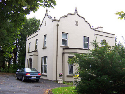 JalmaHouse · 208 yd
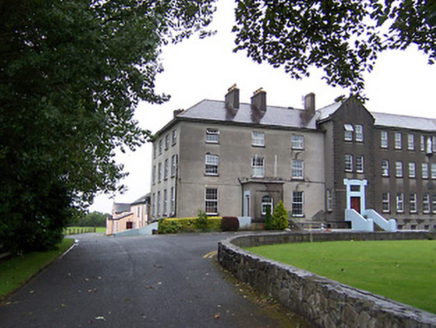 Marist CollegeSchool, house · 465 ydBrides WellHoly well · 740 yd1916 Centenery CommemorationMemorial · 1459 ydAncient WallTown defences · 1505 yd
 CastleCastle, unclassified · 1.0 mi
 Athlone CastleMuseum · 1.0 mi
 Luan GalleryGallery · 1.0 mi
 Historic Town - Athlone Castle & Church of St Peter and PaulVisitor information · 1.0 mi
 Moydrum CastleCastle, unclassified · 1.1 miJadotville - A Company 35 Infantry BattalionMemorial · 1.2 mi
 Siege of AthloneSiege · 1.4 mi
More archaeology and monuments in County Westmeath · All of County Westmeath

What do you know about this place?Tap to add a comment or ask a question