What is recorded here
Situated on a level landscape. This chapel-of-ease (WX048-030001-) to the parish churches of Kilscoran (WX048-014001-) c. 1.6km to the N and St. Iberius (WX048-045001-) c. 1.3km to the S is within a subrectangular grass-covered area with some trees (dims. 29m E-W; 12m N-S) defined by a straight road bank at W, a curved field bank and townland boundary with Ballydungan townland and Kilscoran parish at N, and a low bank (Wth 1-2m; H 0.3-0.5m) at S. There is no evidence of burial.
Compiled by: Michael Moore
Date of upload: 8 January, 2014
The monument record does not grant public access. Check the route and ask the landowner before entering private land.
- What survives
- Recorded monument
Places near here
 Church in ruinsChurch · 1 yd
 Enclosure in GorteencrinEnclosure · 522 yd
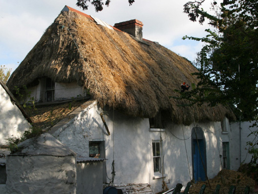 farm housefarm house · 998 yd
 Enclosure in Aughmore (forth By.)Enclosure · 1083 yd
 CastleCastle, tower house · 1.1 mi
 Lady's IslandVisitor information · 1.3 mi
 TowerBawn · 1.4 mi
 ScargeenIsland · 1.5 mi
 Rosslare Harbour Maritime Heritage CentreMuseum · 1.6 mi
 InishIsland · 1.9 mi
 Shernock Hill/Knocks HillMountain / peak · 2.0 mi
 The Fairy Stone/RockNamed rock · 2.0 mi