What is recorded here
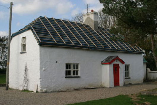
Detached three-bay single-storey lobby entry thatched farmhouse with dormer attic, extant 1840, on a T-shaped plan centred on single-bay single-storey gabled windbreak. Occupied, 1990. "Restored", 2006-7, to accommodate proposed occasional use. Burnt, 2007. Undergoing "restoration", 2007. Replacement hipped gabled roof on collared timber construction with no finish on timber batons, cement rendered off-central chimney stack having corbelled stepped capping supporting terracotta pots, and no rainwater goods on felt-covered exposed timber rafters. Limewashed rendered battered walls. Square-headed central door opening with concealed dressings framing replacement glazed timber boarded door. Square-headed flanking window opening in bipartite arrangement (south) with square-headed flanking window opening (north), concrete sills, and concealed dressings framing replacement timber casement windows replacing two-over-two timber sash windows. Square-headed window openings (remainder) with concrete sills, and concealed dressings framing replacement timber casement windows replacing two-over-two timber sash windows. Set in landscaped grounds on a corner site.
A farmhouse identified as an integral component of the vernacular heritage of south County Wexford by such attributes as the compact rectilinear lobby entry plan form centred on a characteristic windbreak; the construction in unrefined local materials displaying a battered silhouette with sections of ""daub"" or mud suggested by an entry in the ""House and Building Return"" Form of the National Census (NA 1901; NA 1911); and the high pitched roof originally showing an oat thatch finish.
This does not grant access. Most recorded buildings are privately owned; view them only from public ground unless the owner allows entry.
Places near here
 Enclosure in Allenstown BigEnclosure · 255 yd
 Field system in Aughmore (forth By.)Field system · 379 yd
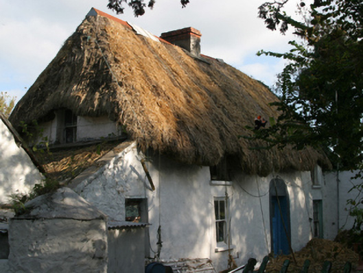 farm housefarm house · 572 yd
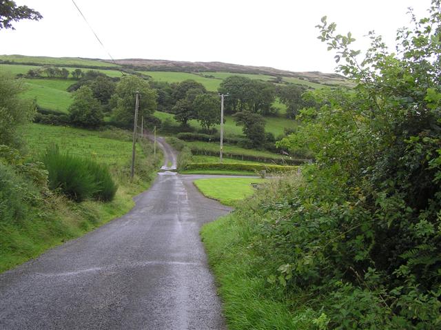 RoadRoad, road/trackway · 581 yd
 CastleCastle, tower house · 1699 yd
 ScargeenIsland · 1.2 mi
 Lady's IslandVisitor information · 1.2 mi
 TowerBawn · 1.2 mi
 InishIsland · 1.5 mi
 Shernock Hill/Knocks HillMountain / peak · 2.4 mi
 Rosslare Harbour Maritime Heritage CentreMuseum · 2.4 mi
 Wilson's MoorWood · 2.6 mi
Other information
Photo: National Inventory of Architectural Heritage · Website use allowed for educational or private purposes with source credit