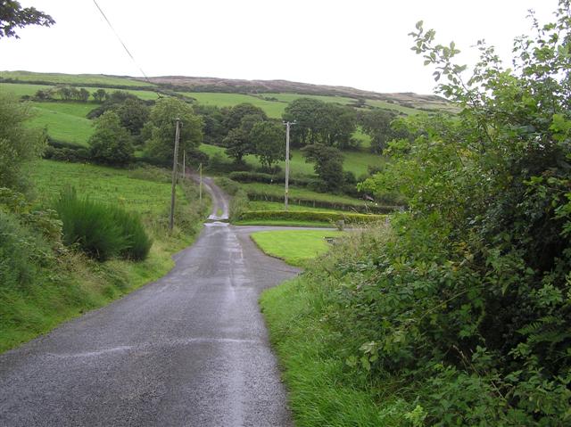
What is recorded here
Situated on a fairly level landscape. The cropmark of two parallel ditches placed c. 10-15m apart and running generally E-W (L c. 100m) can be seen on digital aerial photographs (WX048-143_1 to _3) taken in July, 2006.
Compiled by: Michael Moore
Date of upload; 2 January, 2014
The monument record does not grant public access. Check the route and ask the landowner before entering private land.
- What survives
- Recorded monument
Places near here
 Bennettstown Housefarm house · 493 yd
 Enclosure in Allenstown BigEnclosure · 514 yd
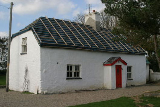 Finn's Cottagehouse · 581 yd
 Field system in BallymacushinField system · 644 yd
 CastleCastle, tower house · 1456 yd
 ScargeenIsland · 1.4 mi
 Lady's IslandVisitor information · 1.5 mi
 TowerBawn · 1.5 mi
 InishIsland · 1.7 mi
 Wilson's MoorWood · 2.4 mi
 Rosslare Harbour Maritime Heritage CentreMuseum · 2.7 mi
 Shernock Hill/Knocks HillMountain / peak · 2.7 mi
Other information
Photo: Credit not shown in the picture search · Rights wording not checked; contact us if this picture should be removed