What is recorded here
Located on a fairly level landscape with a small N-S stream c. 200m to the W. The cropmark of a subcircular enclosure (diam. c. 30m) is visible on the E side of a N-S field bank on digital aerial photographs (WX048-125_1, _2) taken in July, 2006. It is defined by a single fosse feature that may have an entrance at NE. The tower house (WX048-033001-) is c. 200m to the N.
Compiled by: Michael Moore
Date of upload: 3 January, 2014
The monument record does not grant public access. Check the route and ask the landowner before entering private land.
- What survives
- Recorded monument
Places near here
 CastleCastle, tower house · 254 yd
 IndicatedChapel · 281 yd
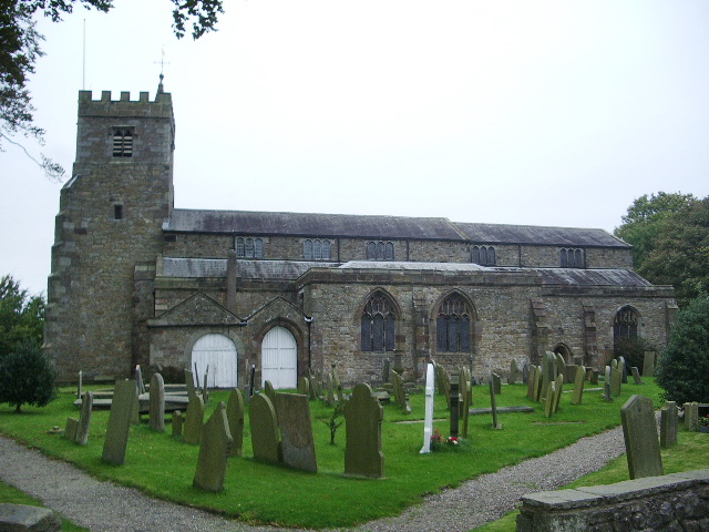 Church (Site of)Church · 1046 yd
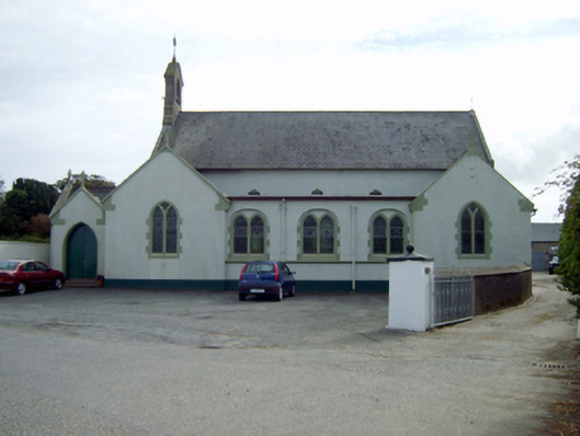 Saint Ruane's Catholic Churchchurch/chapel · 1060 yd
 Site of R.C. ChapelChurch · 1362 yd
 Rosslare Harbour Maritime Heritage CentreMuseum · 1520 yd
 The Fairy Stone/RockNamed rock · 1.6 mi
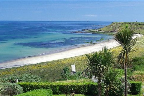 Moran's Bay PostVisitor information · 1.7 mi
 Lady's IslandVisitor information · 1.8 mi
 TowerBawn · 1.9 mi
 Shernock Hill/Knocks HillMountain / peak · 1.9 mi
 ScargeenIsland · 2.0 mi