
What is recorded here
Located on a slight rise c. 220m NNE of the head or N end of Lady’s Island Lough, which was called Lough Togher by Synnott c. 1680 (Hore 1862, 62; 1921, 55), and on the E side of a N-S road. The parish church of St Iberius' parish is within a subrectangular graveyard (dims c. 45m N-S; 40m E-W) defined by masonry walls. Only the W gable (L 8.95m; T 1.15m; H 4.5m) with a small window, putlog-holes, and a base-batter (max. H 1.8m) survives, together with attached parts of the N (L 2.5m; H 0.8m) and S (L 4.3m; max. H 1.8m) clay-bonded walls. The S wall has a round-headed doorway of undressed stone (Wth 0.94m; visible H 1m). John O'Donovan writing c. 1840 (O'Flanagan 1933, vol. 1, 302 3) describes the nave (int. dims. 27ft x 15ft 10in; c. 12.7m x 4.8m) and chancel (int. dims. 22ft 4in x 14ft 4in; c. 6.8m x 4.35m) with a round chancel arch. There is an illustration by Wakeman in Hore (1900-11, vol. 5, 7). In 1887 a crucifixion figure (H c. 12cm) was found at the head of the lake close to the church and a tale relating the loss of the figure and the destruction of the church by Cromwell is well-known (OSFM 1940). The crucifix is now displayed in the Catholic Church of the Assumption c. 700m to the S. (Hore 1949, 48-9)
The above description is derived from the published 'Archaeological Inventory of County Wexford' (Dublin: Stationery Office, 1996). In certain instances the entries have been revised and updated in the light of recent research.
Compiled by: Michael Moore
Date of upload/revision: 9 January, 2014
The monument record does not grant public access. Check the route and ask the landowner before entering private land.
- What survives
- Recorded monument
Places near here
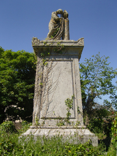 Saint Iberius's Graveyardmausoleum · 13 yd
 Enclosure in TraneEnclosure · 487 yd
 Field system in Butlerstown (forth By., Kilscoran Ed)Field system · 665 yd
 Catholic Church of Our Lady of the Assumptionchurch/chapel · 770 yd
 Lady's IslandVisitor information · 858 yd
 TowerBawn · 983 yd
 ScargeenIsland · 1110 yd
 InishIsland · 1.1 mi
 CastleHouse, fortified house · 1.3 mi
 Shernock Hill/Knocks HillMountain / peak · 1.6 mi
 Carne BeachBeach / strand · 1.8 mi
 Lifeboat MemorialMemorial · 2.0 mi
Other information
Photo: Credit not shown in the picture search · Rights wording not checked; contact us if this picture should be removed