What is recorded here
This house is located on a slight S-facing slope with a small NW-SE stream c. 100m to the N and the W shore of Lady’s Island Lough is c. 250m to the E. The earliest reference is from 1616 when Robert French was seized of the castle at Rathshillane (Jeffrey 1979, 35). He was probably descended from the French family of Ballytory (WX048-042----), which is c. 850m to the N. According to the Book of Survey and Distribution (1660s) Robert Ellyott, an Irish Papist, owned 54 acres at Rathsheland c. 1640 (Simington 1953, 305), and Robert Elliott of Ratilane is listed for transplantation with eight dependents in 1653 (Hore 1900-11, vol. 6, 502). By the Act of Settlement (1666) 54 acres at Rashillan was bestowed on Constantine Neale together with about 600 acres elsewhere in Tacumshin parish (Hore 1921, 50). This is a rectangular building of three storeys (ext. dims 13.1m N-S; 7.45m E-W) with granite quoins, stepped crenellations, and machicolations at the NE and SW angles. The entrance doorway (Wth 1.14m; H 1.92m) with a segmental arch in granite and a recess for a plaque (Wth 0.5m; H 0.4m) above it is towards the S end of the E wall. The doorframe has an outer rebate and may have had a yett, but it is protected by a machicolation on the parapet and inside there are two draw-bar sockets. The doorway opens directly into the ground floor, which has no masonry internal divisions. There are three rectangular windows in lintelled recesses on the W wall, while a fourth opening may have been a doorway. Apart from the doorway there are two openings on the E wall, and one on the N wall. There is a total of fifteen gun-loops in the walls (T 0.85-0.95m) at the ground floor, three of them operated from a recess (Wth 0.5m; H 0.48m) just N of the doorway in the E wall, and with two converging on the SW, NW and NE angles. A garderobe chute is broken out at the SW angle and its chamber was probably at the second floor, but it is not contained within the walls. There are no internal masonry divisions, and there is no vaulting, or evidence of a stairs. A large part of the S wall is missing, and evidence of a ground-floor fireplace may be missing here. The first floor has three rectangular windows, one with two lights, and another with three, and a fireplace with a segmental arch (Wth 1.74m) in the W wall. The N wall has a two-light rectangular window and a fireplace (Wth 1.5m), and the E wall has two two-light rectangular windows. The damaged S wall has a single surviving light, but no corbels to support the floor are evident anywhere. The second floor was supported on corbels in the E and W walls, and has a fireplace and two blocked rectangular windows in the E wall. There is a blocked two-light rectangular window at the S end of the W wall and a single light at the N end, while there is a double-light rectangular window in the N wall. The house is situated at NE corner of a square enclosure (dims. c. 40m x 40m), visible as a vegetation mark on aerial photographs (ASIAP WX, 72, 32-3), but this may be the remnants of a field marked on the 1839 ed. of the OS 6-inch map. The house was conserved as a dwelling in 2003 when archaeological testing (03E0223) identified a cobbled surface within the house, which was built on a layer of introduced clay. An E-W gully (Wth 0.5m; D 0.7m plus) c. 20m S of the house is probably a field drain associated with the mapped field bank (Ó Drisceoil 2003, 5; 2006).
This house is located on a slight S-facing slope with a small NW-SE stream c. 100m to the N and the W shore of Lady’s Island Lough is c. 250m to the E. The earliest reference is from 1616 when Robert French was seized of the castle at Rathshillane (Jeffrey 1979, 35). He was probably descended from the French family of Ballytory (WX048-042----), which is c. 850m to the N. According to the Book of Survey and…
From the National Monuments Service (Archaeological Survey of Ireland) record WX053-011
The monument record does not grant public access. Check the route and ask the landowner before entering private land.
- What survives
- Recorded monument
Places near here
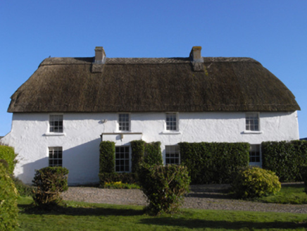 farm house499 ydInishIsland · 814 yd
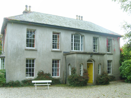 Ballytory CastleFarm house · 949 ydNot indicatedField system · 1154 ydScargeenIsland · 1301 ydTowerBawn · 1677 ydLady's IslandVisitor information · 1757 yd
 Windmill (Corn) (Disused)Windmill · 1.0 miThe Chour / The Hill of the ChourMountain / peak · 1.6 mi
 CastleCastle, tower house · 1.9 mi
 Carne BeachBeach / strand · 2.2 mi
 Lifeboat MemorialMemorial · 2.3 mi
Pictures: National Inventory of Architectural Heritage; DeFacto, Wikimedia Commons · CC BY-SA 4.0; Cozzmick, Wikimedia Commons · CC BY-SA 4.0; User Ali-oops on en.wikipedia, Wikimedia Commons · GFDL; Ojsyork, Wikimedia Commons · CC BY 4.0
More castles and forts in County Wexford · All of County Wexford
What do you know about this place?