
What is recorded here
The cropmark of circular bivallate enclosure (WX048-044001-) is visible on aerial photographs (CUCAP, AYK 2, AVK 48; GB89.AP.01) together with traces of a regular field system and roadway to the N. It is not visible at ground level.
Compiled by: Michael Moore
Date of upload: 03 March 2010
The monument record does not grant public access. Check the route and ask the landowner before entering private land.
- What survives
- Recorded monument
Places near here
 Enclosure in TraneEnclosure · 247 yd
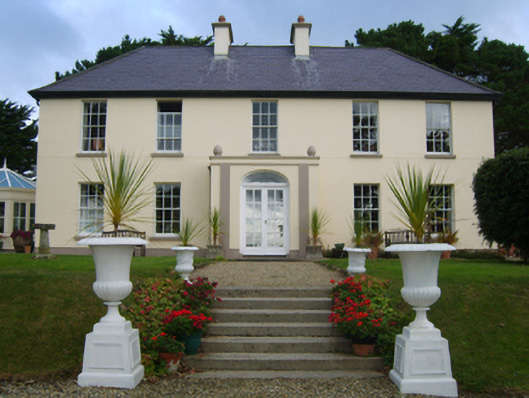 Loughtown Housefarm house · 404 yd
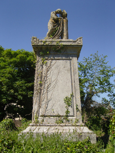 Saint Iberius's Graveyardmausoleum · 664 yd
 St. Catherines WellHoly well · 733 yd
 ScargeenIsland · 778 yd
 Lady's IslandVisitor information · 845 yd
 TowerBawn · 909 yd
 InishIsland · 1504 yd
 CastleHouse, fortified house · 1592 yd
 Shernock Hill/Knocks HillMountain / peak · 1.8 mi
 Carne BeachBeach / strand · 2.0 mi
 Lifeboat MemorialMemorial · 2.1 mi
Other information
Photo: Credit not shown in the picture search · Rights wording not checked; contact us if this picture should be removed