
What is recorded here
Located in a level landscape, it was the source of a small stream (L c. 1km) that ran SE to the head of Lady’s Island Lough that was known as Lough Togher in the 17th century. A well is marked on the 1839 and 1940 eds of the OS 6-inch map and described in gothic lettering on both as ‘St. Catherine’s Well’. According to John O’Donovan writing c. 1840 it was no longer visited at that time and he does not provide a pattern day (O’Flanagan 1933, vol. 1, 303). Hore (1949, 48-9) thought that the well was named after the patron of the parish, St. Iberius, or Iobhar of Begerin (WX038-004001-). The well is no longer extant but is described locally as a spring that had not been venerated.
The saint is probably St. Catherine of Alexandria. She was a 4th century savant who converted some pagan philosophers. When persecuted on a rack the wheels miraculously fell off the machine – hence she is always represented with a wheel. Eventually she was burned by her persecutors. Her remains were discovered in Egypt in the 8th century and miraculously translated to Mt. Sinai where her monastery continues to this day. Some of her relics came to Europe in the 11th century, resulting in the popularisation of her cult. In 1969 she was removed from the Calendar by the Roman Catholic Church because the details of her life were so obscure, but she was restored in 2002. (Butler, Rev. A 1883, 169)
Compiled by: Michael Moore
Date of upload: 2 January, 2013
St. Catherine’s Well is traditionally associated with the early Christian saint Catherine of Alexandria, venerated in Ireland for her miracles and healing powers. The well was likely a site of pilgrimage and may have been used for curing ailments, particularly those of the eyes and skin, as was common with many wells dedicated to her.
The monument record does not grant public access. Check the route and ask the landowner before entering private land.
- What survives
- Recorded monument
Places near here
 Enclosure in Allenstown BigEnclosure · 521 yd
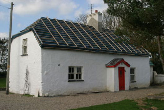 Finn's Cottagehouse · 648 yd
 farm housefarm house · 663 yd
 Enclosure in TraneEnclosure · 689 yd
 ScargeenIsland · 1470 yd
 Lady's IslandVisitor information · 1575 yd
 TowerBawn · 1642 yd
 InishIsland · 1.2 mi
 CastleCastle, tower house · 1.3 mi
 Shernock Hill/Knocks HillMountain / peak · 2.2 mi
 Carne BeachBeach / strand · 2.4 mi
 Wilson's MoorWood · 2.4 mi
Other information
Photo: Credit not shown in the picture search · Rights wording not checked; contact us if this picture should be removed