
What is recorded here
Situated in a slight fold on a SE-facing slope with the N end of Lady’s Island Lough c. 260m to the SE. The cropmark of a double-ditched rectangular enclosure (int. dims c. 30m NE-SW; c. 30m NW-SE) is visible on aerial photographs (MM (5) 20-24). Archaeological testing (05E0706) by John Purcell c. 60m to the W produced no related archaeological material (excavations.ie 2005:1677).
The above description is derived from the published 'Archaeological Inventory of County Wexford' (Dublin: Stationery Office, 1996). In certain instances the entries have been revised and updated in the light of recent research.
Compiled by: Michael Moore
Date of upload: 9 January, 2014
Amended: 26 November 2020
The monument record does not grant public access. Check the route and ask the landowner before entering private land.
- What survives
- Recorded monument
Places near here
 Field system in Butlerstown (forth By., Kilscoran Ed)Field system · 247 yd
 Church in ruinsChurch · 487 yd
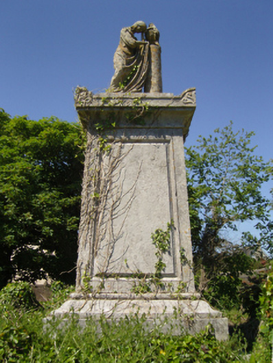 Saint Iberius's Graveyardmausoleum · 489 yd
 St. Catherines WellHoly well · 689 yd
 Lady's IslandVisitor information · 935 yd
 ScargeenIsland · 971 yd
 TowerBawn · 1025 yd
 InishIsland · 1739 yd
 CastleHouse, fortified house · 1.0 mi
 Shernock Hill/Knocks HillMountain / peak · 1.8 mi
 Carne BeachBeach / strand · 2.0 mi
 Lifeboat MemorialMemorial · 2.1 mi
Other information
Photo: Credit not shown in the picture search · Rights wording not checked; contact us if this picture should be removed