What is recorded here
Situated on top of an E-W ridge in undulating countryside. Circular area (diam 27m E-W; 25m N-S) enclosed by two earthen banks with intervening fosse (Wth 3m; ext. D 1m) with causeway entrance (Wth 3m) at NE. Inner bank (Wth 2m; int. H 0.7m; ext. H 1.4m) is not as well preserved as the outer bank (Wth 2m; ext. H 1m) which has a sharper profile and appears to be of recent construction. It is also planted with trees and shrubs. The site appears to be a ringfort which has been reused as a tree ring by the addition of an outer bank which has been planted with trees.
Situated on top of an E-W ridge in undulating countryside. Circular area (diam 27m E-W; 25m N-S) enclosed by two earthen banks with intervening fosse (Wth 3m; ext. D 1m) with causeway entrance (Wth 3m) at NE. Inner bank (Wth 2m; int. H 0.7m; ext. H 1.4m) is not as well preserved as the outer bank (Wth 2m; ext. H 1m) which has a sharper profile and appears to be of recent construction. It is also planted with…
From the National Monuments Service (Archaeological Survey of Ireland) record OF045-025
The monument record does not grant public access. Check the route and ask the landowner before entering private land.
- What survives
- Recorded monument
Places near here
Photo credits
- National Inventory of Architectural Heritage
- Mike Searle, Geograph · CC BY-SA 2.0
- GerardM, Wikimedia Commons · CC BY-SA 2.1 es
- Graham Horn, Wikimedia Commons · CC BY-SA 2.0
- Andreas F. Borchert, Wikimedia Commons · CC BY-SA 4.0
- Derek Ryan Bawn, Wikimedia Commons · CC BY-SA 4.0
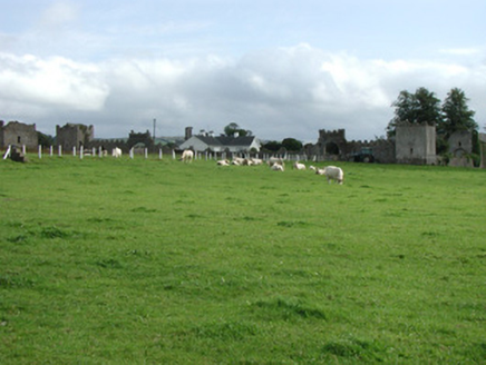 Franckfort CastleCountry house · 1.1 mi
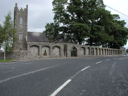 Dunkerrin ChurchChurch/chapel · 1.2 mi
 IndicatedBawn · 1.3 mi
 The RectoryGate lodge · 1.6 mi
 The RectoryRectory/glebe/vicarage/curate's house · 1.6 mi
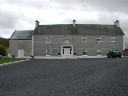 MyrtlegroveFarm house · 1.8 mi
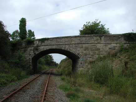 bridge1.9 mi
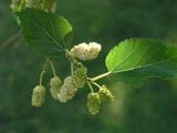 White Mulberry3.0 miWhite Mulberry3.1 mi
 CastleCastle, Anglo-Norman masonry castle · 4.2 mi
 Round Tower4.3 mi
 BarrowBarrow, mound barrow · 9.9 mi
More archaeology and monuments in County Offaly · All of County Offaly
What do you know about this place?