
Places near here
Photo credits
- Andreas F. Borchert, Wikimedia Commons · CC BY-SA 4.0
- Frankysandwich, Wikimedia Commons · CC BY-SA 3.0
- National Inventory of Architectural Heritage
- Willow, Wikimedia Commons · CC BY 2.5
- Credit not shown, Wikimedia Commons · Creative Commons Attribution-ShareAlike 4.0
- dougf, Geograph · CC BY-SA 2.0
- 瑞丽江的河水, Wikimedia Commons · CC BY-SA 4.0
- Maker named on the Wikimedia Commons picture page · CC BY-SA 2.5
 Church (in Ruins)Church · 824 yd
Explorer Tom Church in Oldkilcullen has been stuck in a feud with its neighbour over who was built first. It’s got medieval roots…
 Dún AilinneArchaeological place · 1471 yd
Explorer Tom Dún Ailinne has a curse that only affects people who don’t wave at it properly when passing by. It’s been guarding its…
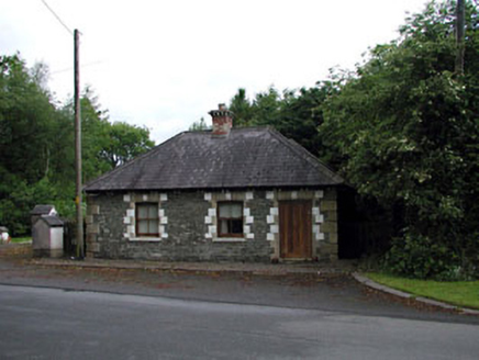 Sunnyhill HouseGate lodge · 1.5 mi
Explorer Tom Sunnyhill House in Sunnyhill claims to have the world's smallest gate lodge record. It’s a tiny brick-and-stone…
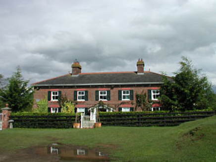 Sunnyhill CottageHouse · 1.6 mi
Explorer Tom Sunnyhill Cottage is basking in its own red-brick glory. Its favourite song is probably 'Here Comes the Sun' because…
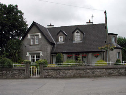 Grove VillaHouse · 1.9 mi
Explorer Tom Grove Villa has very strong opinions that modern buildings are just boxes without personality or a proper loggia. It’s…
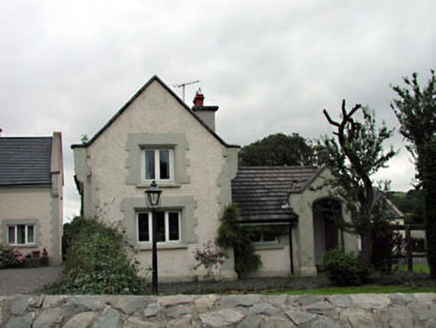 Calverstown CottageHouse · 1.9 mi
Explorer Tom Calverstown Cottage is telling everyone there's a hidden tunnel straight to the pub, which is definitely not true. It’s…
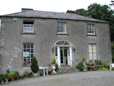 Calverstown HouseHouse · 2.2 mi
Explorer Tom Calverstown House would tell you exactly how the Vikings got lost looking for it because they lacked GPS. It looks like…
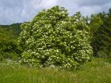 Elder2.5 mi
Explorer Tom An Elder tree almost got sold to a farmer for his horse, but he backed out when it refused to eat oats. It stands there…
 Castle in Ballyshannon DemesneCastle, motte · 2.6 mi
Explorer Tom Castle in Ballyshannon Demesne is a conical mound with a tree on top, looking like a giant mushroom that gave up on…
 Blackhall CastleCastle, tower house · 3.2 mi
Explorer Tom Blackhall Castle has a retirement plan involving becoming a very expensive garden shed for the farmyard. Half its tower…
 Rath Turtle MoatArchaeological place · 10 mi
Explorer Tom Rath Turtle Moat sits on a hilltop in Glen Ding Wood near Blessington, reached through a mix of deciduous and conifer…
 Sessile Oak17 mi
Explorer Tom Sessile Oak in County Wicklow holds the unofficial world record for looking the most bored while standing perfectly…
More archaeology and monuments in County Kildare · All of County Kildare

What do you know about this place?Tap to add a comment or ask a question